
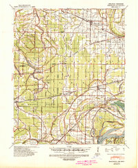
1931 Map of Jericho
USGS Topo · Published 1931About this map
The shifting course of the Mississippi River dominates this landscape along the Arkansas-Tennessee State Line, where massive river bends and secondary channels like Barney Chute and Brandywine Chute create a complex network of islands and bars. The 1930 topography shows the lasting impact of the Mississippi River Cut Off 1876, which isolated large landmasses like Centennial Island and Brandywine Island from the main current.
Find a feature on this map
47 named features on this map. Tap any name to fly to it.
Don’t see what you’re looking for? This feature index may not catch every label — zoom into the map to look around manually.
Map Details
Editions of this 1931 Jericho Map
This is the sole edition of this map. No revisions or reprints were ever made.
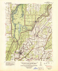
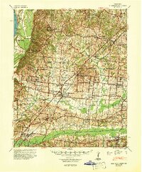
Other maps of this area

1916 · Memphis
USGS Topo · 1:62,500

1925 · Memphis
USGS Topo · 1:48,000

1927 · Memphis
USGS Topo · 1:62,500

1939 · Jericho
USGS Topo · 1:62,500
1939 · Edmondson
USGS Topo · 1:62,500
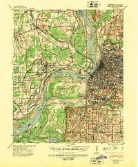
1939 · Memphis
USGS Topo · 1:62,500

1939 · Evadale
USGS Topo · 1:62,500

1940 · Deckerville
USGS Topo · 1:62,500
1941 · Marked Tree
USGS Topo · 1:62,500
1942 · Millington
USGS Topo · 1:62,500