
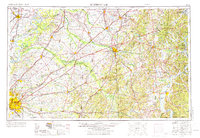
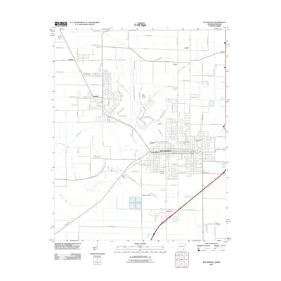
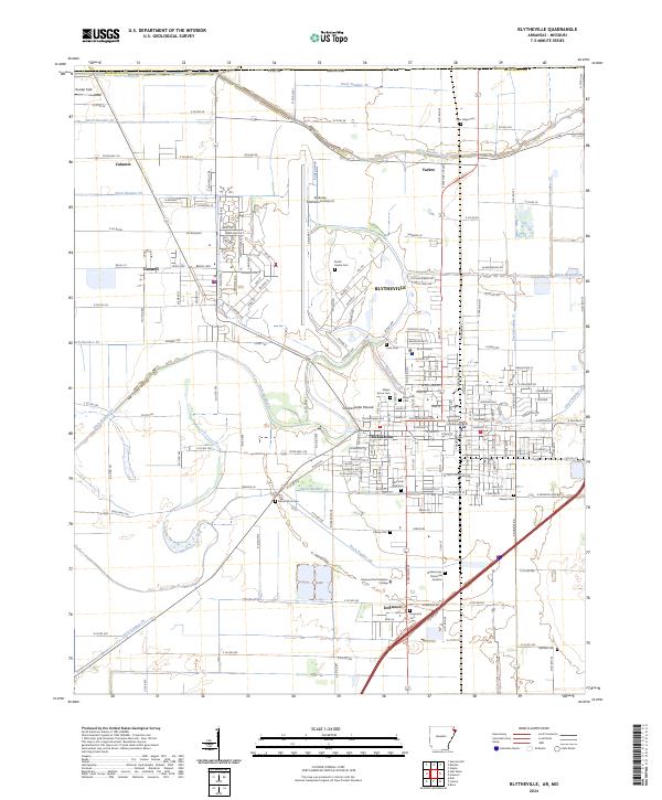
1959 Map of Blytheville
USGS Topo · Published 1959About this map
The Mississippi River creates a meandering border between the agricultural plains of Blytheville, Arkansas, and the river bluffs of West Tennessee. This mid-century survey reveals a region defined by its complex drainage systems, where the Hatchie River and its Hatchie Bottoms wetlands dominate the central interior. To the south, the expansion of Memphis is balanced by the industrial and military presence of the Milan Arsenal and the critical rail junctions at Jackson.
Find a feature on this map
40 named features on this map. Tap any name to fly to it.
Don’t see what you’re looking for? This feature index may not catch every label — zoom into the map to look around manually.
Map Details
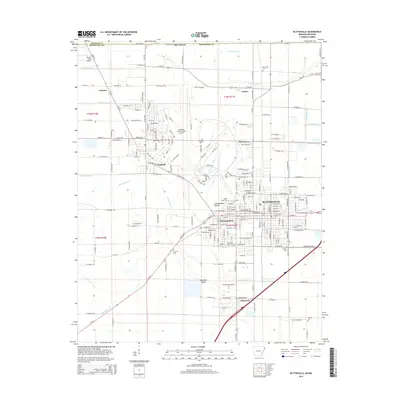
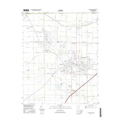
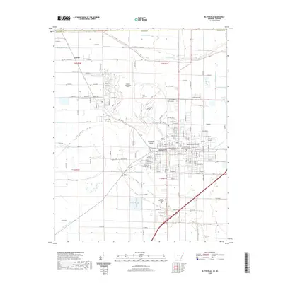
Editions of this 1959 Blytheville Map
This is the sole edition of this map. No revisions or reprints were ever made.
Historical Maps of Memphis Through Time
12 maps found

1939 Blytheville
Mississippi County, AR

1955 Blytheville
Mississippi County, AR
1956 Blytheville
Mississippi County, AR
1959 Blytheville
Mississippi County, AR
1972 Blytheville
Mississippi County, AR
1976 Blytheville
Mississippi County, AR
1986 Blytheville
Mississippi County, AR
2011 Blytheville
Mississippi County, AR
2014 Blytheville
Mississippi County, AR
2017 Blytheville
Mississippi County, AR
2020 Blytheville
Mississippi County, AR
2024 Blytheville
Mississippi County, AR