
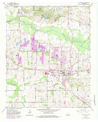
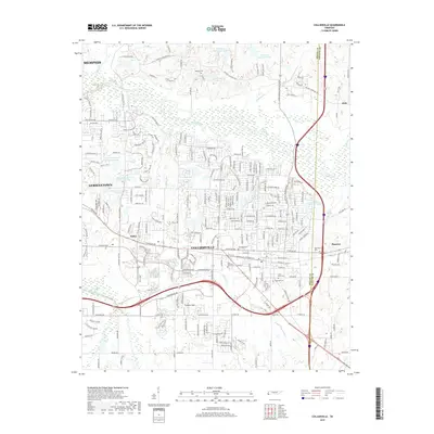
1953 Map of Collierville
USGS Topo · Published 1953About this map
Collierville and its surrounding countryside in Shelby and Fayette counties appear here as a landscape defined by small agrarian settlements and the winding course of the Wolf River. During this mid-century period, the area's social geography is anchored by an exceptionally dense network of country schools and churches, such as Log Union Ch and Woodlawn Sch & Ch, many with associated family burial grounds like Magnolia Cem.
Find a feature on this map
72 named features on this map. Tap any name to fly to it.
Don’t see what you’re looking for? This feature index may not catch every label — zoom into the map to look around manually.
Map Details
Editions of this 1953 Collierville Map
This is the sole edition of this map. No revisions or reprints were ever made.
Historical Maps of Memphis Through Time
9 maps found

1943 Collierville
Shelby County, TN
1953 Collierville
Shelby County, TN
1965 Collierville
Shelby County, TN

1968 Collierville
Shelby County, TN
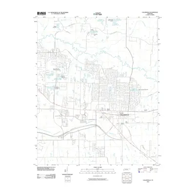
2010 Collierville
Shelby County, TN
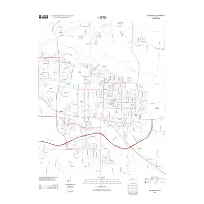
2013 Collierville
Shelby County, TN
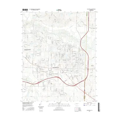
2016 Collierville
Shelby County, TN
2019 Collierville
Shelby County, TN
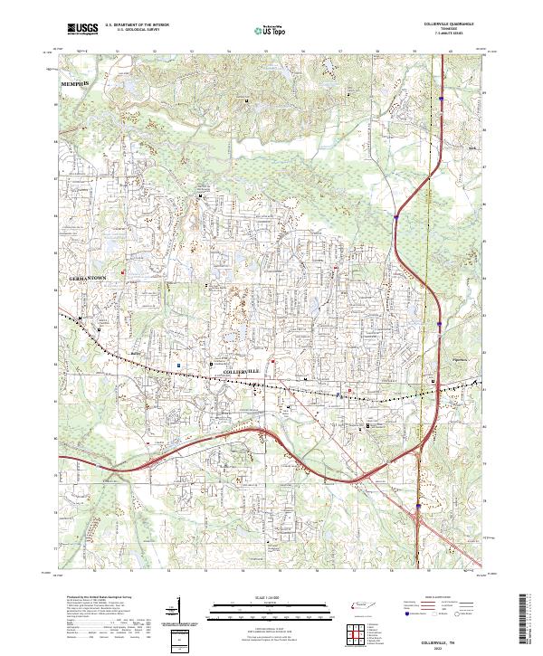
2022 Collierville
Shelby County, TN