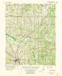
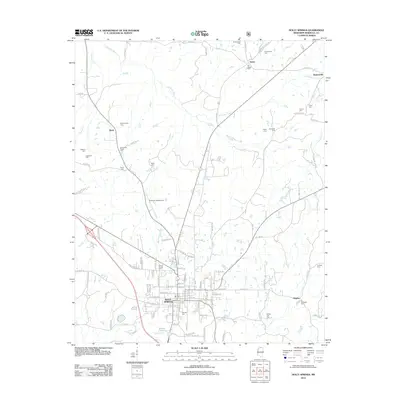
1953 Map of Holly Springs
USGS Topo · Published 1953About this map
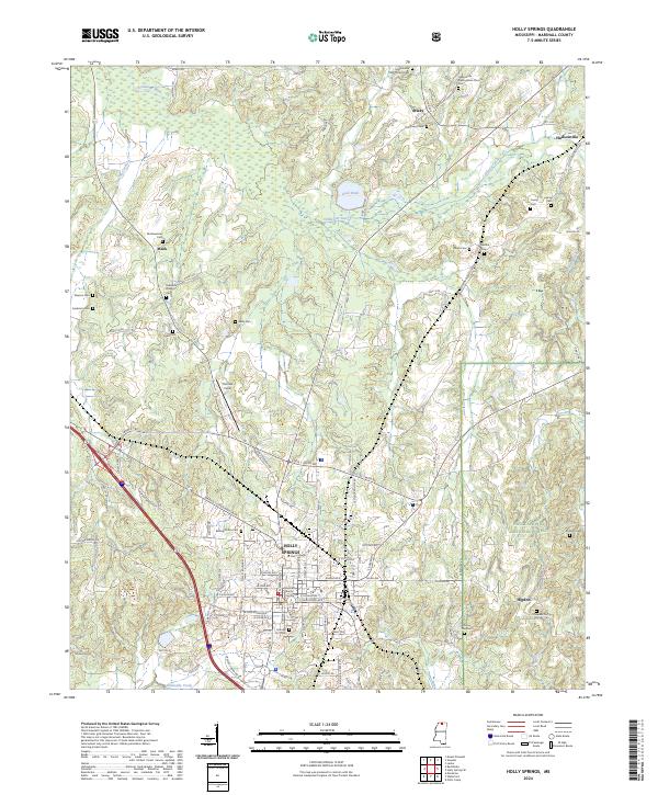
Holly Springs and its northern surroundings in Marshall and Benton counties appear here in the early 1950s, defined by a landscape of small agricultural settlements and a dense network of country schools and churches. The city itself serves as a central hub, where the St Louis - San Francisco and Illinois Central railroads intersect. To the south, the borders of the Holly Springs National Forest encompass the drainage of Chewalla Creek, while the Coldwater River winds through the western portion of the quadrangle.
Find a feature on this map
68 named features on this map. Tap any name to fly to it.
Don’t see what you’re looking for? This feature index may not catch every label — zoom into the map to look around manually.
Map Details
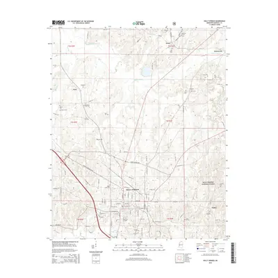
Editions of this 1953 Holly Springs Map
This is the sole edition of this map. No revisions or reprints were ever made.
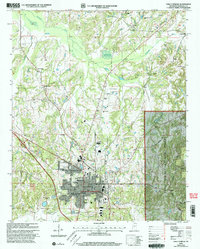
Historical Maps of Holly Springs Through Time
9 maps found
1953 Holly Springs
Marshall County, MS
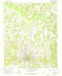
1965 Holly Springs
Marshall County, MS
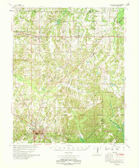
1969 Holly Springs
Marshall County, MS
2000 Holly Springs
Marshall County, MS
2012 Holly Springs
Marshall County, MS
2015 Holly Springs
Marshall County, MS
2018 Holly Springs
Marshall County, MS
2021 Holly Springs
Marshall County, MS
2024 Holly Springs
Marshall County, MS