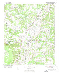
1950 Map of Grand Junction
USGS Topo · Published 1981About this map
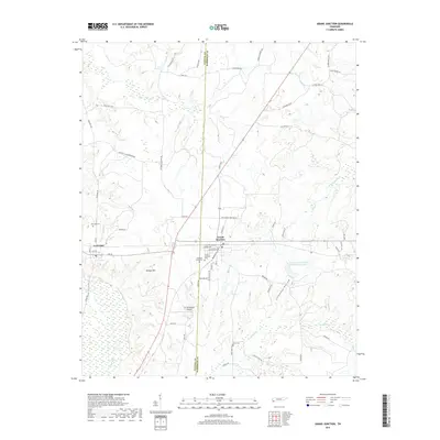
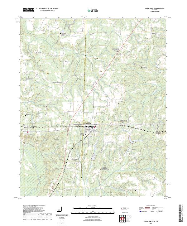
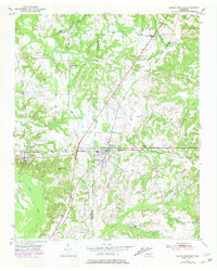
The Illinois Central and Southern railroads intersect at Grand Junction, a pivotal rail junction in southwestern Tennessee at the mid-century. This survey, photorevised in 1980, illustrates a landscape where the Fayette and Hardeman county lines meet amidst a network of small rural communities and extensive family landmarks. To the west, the town of La Grange sits near the headwaters of the Wolf River, while the northern portion is dominated by the Ames Plantation. The map is particularly rich for genealogical research, identifying numerous local institutions such as Jones Chapel Sch, Hunts Chapel Sch, and Spring Chapel. The bottomlands of Clemmons Bottom and the winding course of Indian Creek define the southern terrain, reflecting a region deeply tied to its watercourses and rail lines.
Find a feature on this map
27 named features on this map. Tap any name to fly to it.
Don’t see what you’re looking for? This feature index may not catch every label — zoom into the map to look around manually.
Map Details
Editions of this 1950 Grand Junction Map
This is the sole edition of this map. No revisions or reprints were ever made.
Historical Maps of La Grange Through Time
7 maps found