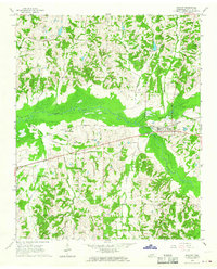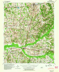
1949 Map of Moscow
USGS Topo · Published 1964About this map
Somerville stands as a central hub in this survey of mid-century Fayette County, where the agricultural landscape is deeply integrated with the Southern railroad line. The map reveals a dense network of rural infrastructure, particularly the numerous combined church and cemetery sites like Rehoboth Ch & Cem and Jones Chapel & Cem that served as the social anchors for scattered farming families. This era highlights a significant educational footprint, featuring institutions such as the Fayette Co Training Sch and various local schools like Sunnyside Sch and Mosby Sch. The bottomland of the Wolf River and the Loosahatchie River Canal to the north dictate the region's topography, while small settlements like Moscow, Williston, and Pattersonville appear as concentrated points of commerce along the rail and road corridors leading toward the Mississippi state line.
Find a feature on this map
113 named features on this map. Tap any name to fly to it.
Don’t see what you’re looking for? This feature index may not catch every label — zoom into the map to look around manually.
Map Details
Editions of this 1949 Moscow Map
This is the sole edition of this map. No revisions or reprints were ever made.
Historical Maps of Oakland Through Time
8 maps found