Old Maps of Slayden, Mississippi
Explore 12 old maps of Slayden, spanning from 1953 to today. These high-resolution historic maps reveal how streets, neighborhoods, landmarks, and natural features evolved over time — perfect for genealogy, metal detecting, research, and local history exploration.
What you can do with these maps:
- See how Slayden changed over time: Compare historical maps to modern-day views to trace roads, homesites, rail lines & more.
- View detailed metadata: Each map includes creators, publishers, year, scale, and archive source.
- Overlay maps with satellite & LiDAR: Visualize the past alongside modern tools to explore terrain & human change.
- Trusted historical sources: Maps sourced from the USGS, Library of Congress, and other archives.
- Access maps your way: View online, download high-res files, or order prints for personal or research use.
Start exploring old maps of Slayden to uncover forgotten places, hidden landmarks, and the deep history beneath your feet.
Slayden, MS maps
(12)- 1953 Map of Holly Springs
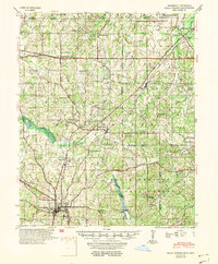 1953 Holly Springs1953 Print · USGSNorth-central Mississippi and the Tennessee borderlands are captured here in the early 1950s, centered on the railroad crossing at Holly Springs. Genealogists can trace family locations through numerous rural sites like Hudsonville Ch & Cem and Slayden Sch.
 - 1956 Map of Tupelo, 1967 Print
 1956 Tupelo1967 Print · USGSNortheast Mississippi and parts of Tennessee and Alabama are shown here during the mid-fifties, a time of major reservoir construction and forestry management. Researchers can trace the St Louis-San Francisco RR through Tupelo or locate historic sites like Tishomingo State Park and the University.2 unique versions available
 - 1958 Map of Tupelo
 1958 Tupelo1958 Print · USGSNortheast Mississippi and neighboring Alabama and Tennessee appear here during the late fifties as a region defined by new reservoirs and historic rail lines. Genealogists can trace family locations near Sardis Lake, Woodall Mountain, and the St Louis-San Francisco Ry.
 - 1965 Map of Slayden, 1966 Print
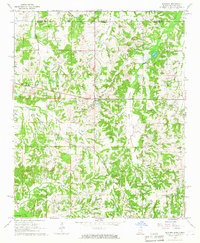 1965 Slayden1966 Print · USGSSpanning the Tennessee and Mississippi border in the 1960s, this area reveals a landscape of rural school districts and family cemeteries. Trace the locations of historic landmarks like Early Grove, Sand Flats Jr High Sch, and the Pittman Cem.2 unique versions available
 - 1969 Map of Holly Springs
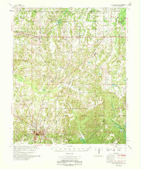 1969 Holly Springs1969 Print · USGSNorthern Mississippi and the Tennessee borderlands are detailed here in the late sixties, centered on the rail crossroads of Holly Springs. Genealogists and local historians can trace hundreds of rural landmarks, including Early Grove Cem, Roberts Chapel, and the Sand Flats Jr High Sch.
 - 1984 Map of Tupelo
 1984 Tupelo1984 Print · USGSNorth Mississippi in the 1980s is defined by its massive river basin reservoirs and the growing regional hubs of Tupelo and Oxford. Researchers can trace the legacy of the Pontotoc Ridge, find the University of Mississippi, and map early Interstate corridors near Sardis Lake.3 unique versions available
 - 2010 Map of Slayden, 2010 Print
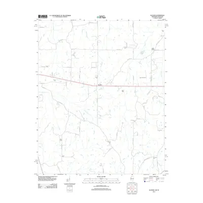
 2010 Slayden2010 Print · USGSCovers Slayden, including Early Grove, Fayette County, and other nearby areas
 - 2012 Map of Slayden, 2012 Print
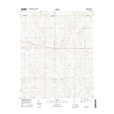
 2012 Slayden2012 Print · USGSCovers Slayden, including Early Grove, Fayette County, and other nearby areas
 - 2015 Map of Slayden, 2015 Print
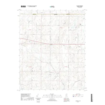
 2015 Slayden2015 Print · USGSCovers Slayden, including Early Grove, Fayette County, and other nearby areas
 - 2018 Map of Slayden, 2018 Print
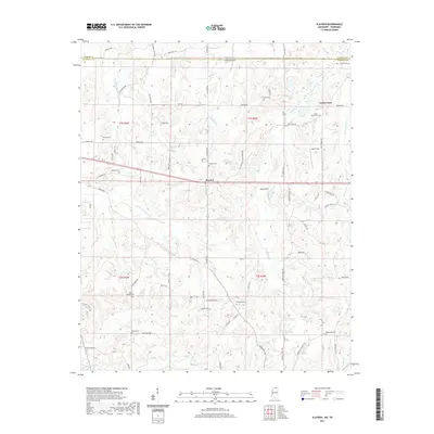
 2018 Slayden2018 Print · USGSCovers Slayden, including Early Grove, Fayette County, and other nearby areas
 - 2021 Map of Slayden, 2021 Print
 2021 Slayden2021 Print · USGSCovers Slayden, including Early Grove, Fayette County, and other nearby areas
 - 2024 Map of Slayden, 2024 Print
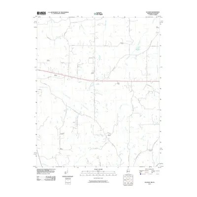
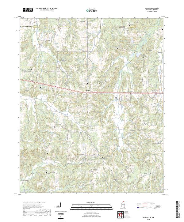 2024 Slayden2024 Print · USGSMarshall County, Mississippi, sits along the Tennessee border in this recent survey of its rural crossroads and creek valleys. Genealogists can trace family locations through numerous sites like Early Grove Cem, Slayden Cem, and Isom Chapel.
End of results
Showing maps 1-12 of 12
Top cities near Slayden
- Memphis historical maps
- Collierville historical maps
- Holly Springs historical maps
- Piperton historical maps
- Byhalia historical maps
- Moscow historical maps
See more
Frequently asked questions
- What are the different types of historical maps available for Slayden?
- What is the oldest map of Slayden?
- Where can I purchase historical maps of Slayden for my home or office?
- Where can I download high-res historical maps of Slayden?
- Are there historical topographic maps available for Slayden?
- Is there historical aerial imagery available for Slayden?
- Where are historical maps of Slayden sourced from?