Old Maps of Slayden, Mississippi for Academic Research
Study the evolution of Slayden with 12 high-resolution historic maps. Whether you're teaching, researching, or modeling changes in land use, these maps provide essential visual documentation of urban, environmental, and geographic change.
- Analyze long-term change: Track patterns in development, transportation, and natural features.
- Ideal for environmental or urban studies: Support academic projects with primary historical map data.
- Use in the classroom or lab: Educators and researchers rely on these maps to bring historical context to life.
These maps are a powerful tool for teaching, research, and visualizing how Slayden has changed over the decades.
Slayden, MS maps
(12)- 1953 Map of Holly Springs
 1953 Holly Springs1953 Print · USGSNorth-central Mississippi and the Tennessee borderlands are captured here in the early 1950s, centered on the railroad crossing at Holly Springs. Genealogists can trace family locations through numerous rural sites like Hudsonville Ch & Cem and Slayden Sch.
 - 1956 Map of Tupelo, 1967 Print
 1956 Tupelo1967 Print · USGSNortheast Mississippi and parts of Tennessee and Alabama are shown here during the mid-fifties, a time of major reservoir construction and forestry management. Researchers can trace the St Louis-San Francisco RR through Tupelo or locate historic sites like Tishomingo State Park and the University.2 unique versions available
 - 1958 Map of Tupelo
 1958 Tupelo1958 Print · USGSNortheast Mississippi and neighboring Alabama and Tennessee appear here during the late fifties as a region defined by new reservoirs and historic rail lines. Genealogists can trace family locations near Sardis Lake, Woodall Mountain, and the St Louis-San Francisco Ry.
 - 1965 Map of Slayden, 1966 Print
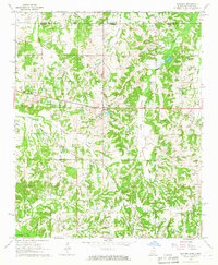 1965 Slayden1966 Print · USGSSpanning the Tennessee and Mississippi border in the 1960s, this area reveals a landscape of rural school districts and family cemeteries. Trace the locations of historic landmarks like Early Grove, Sand Flats Jr High Sch, and the Pittman Cem.2 unique versions available
 - 1969 Map of Holly Springs
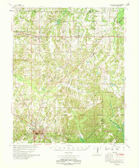 1969 Holly Springs1969 Print · USGSNorthern Mississippi and the Tennessee borderlands are detailed here in the late sixties, centered on the rail crossroads of Holly Springs. Genealogists and local historians can trace hundreds of rural landmarks, including Early Grove Cem, Roberts Chapel, and the Sand Flats Jr High Sch.
 - 1984 Map of Tupelo
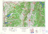 1984 Tupelo1984 Print · USGSNorth Mississippi in the 1980s is defined by its massive river basin reservoirs and the growing regional hubs of Tupelo and Oxford. Researchers can trace the legacy of the Pontotoc Ridge, find the University of Mississippi, and map early Interstate corridors near Sardis Lake.3 unique versions available
 - 2010 Map of Slayden, 2010 Print
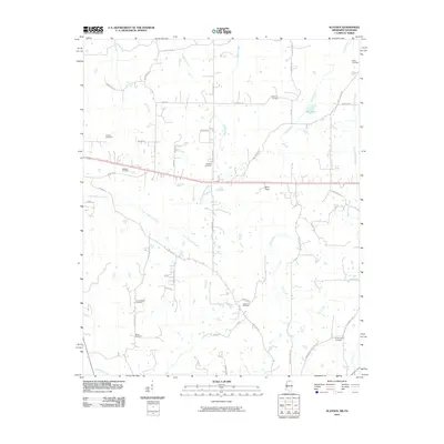 2010 Slayden2010 Print · USGSNorthern Mississippi's rural landscape at the start of the decade is defined by a deep network of ancestral burial grounds and winding creeks. Genealogists can trace family connections through sites like Isom Chapel Cemetery, Gatewood Cemetery, and Mill Pond.
 - 2012 Map of Slayden, 2012 Print
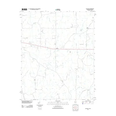 2012 Slayden2012 Print · USGSNorthern Mississippi at the turn of the decade remains a landscape of quiet rural roads and ancestral homesteads. Family historians can trace numerous burial sites including Isom Chapel Cem and Gatewood Cem near the settlement of Slayden.
 - 2015 Map of Slayden, 2015 Print
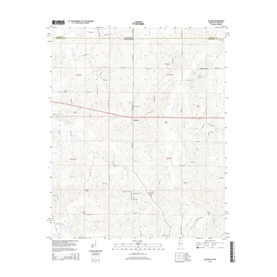 2015 Slayden2015 Print · USGSMarshall County, Mississippi, and Fayette County, Tennessee, meet at this rural borderland during the mid-2010s. Genealogists and local historians can trace family markers at Isom Chapel Cem and Boswell Cem or explore the area around Slayden and the Mill Pond.
 - 2018 Map of Slayden, 2018 Print
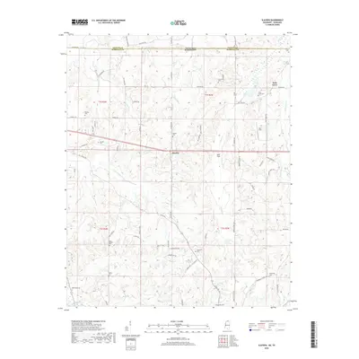 2018 Slayden2018 Print · USGSNorthern Marshall County comes into focus in this recent survey of the rural landscape bordering Tennessee. Researchers can locate numerous local landmarks and family burial sites including Isom Chapel Cem, Gatewood Cem, and the quiet crossroads of Slayden.
 - 2021 Map of Slayden, 2021 Print
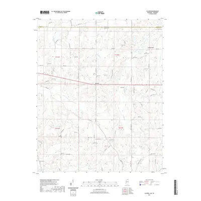 2021 Slayden2021 Print · USGSMarshall County's northern borderlands are captured here in the early twenty-first century, showing a landscape defined by family settlements and watercourses. Genealogists can trace decades of local history through numerous burial sites like Concord Cem, Boswell Cem, and Bethel Cem.
 - 2024 Map of Slayden, 2024 Print
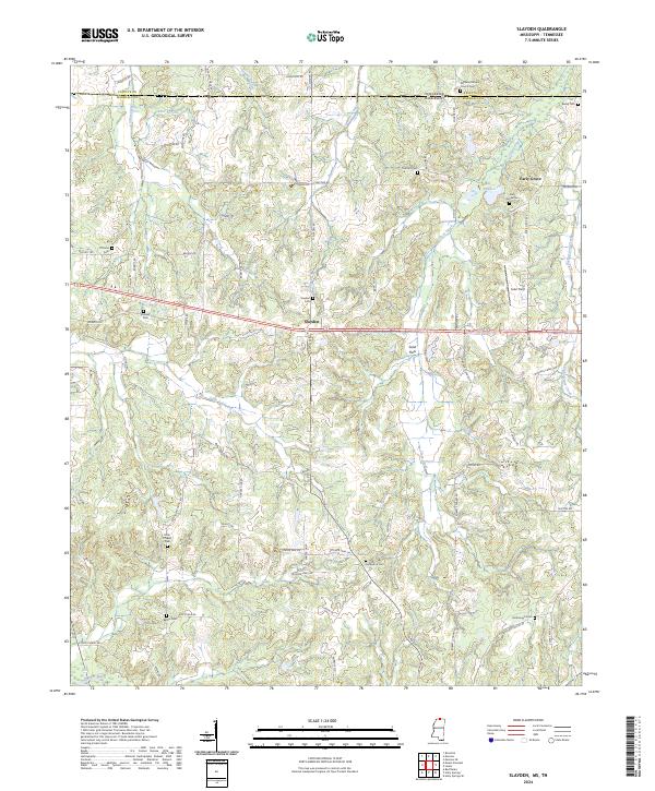 2024 Slayden2024 Print · USGSMarshall County, Mississippi, sits along the Tennessee border in this recent survey of its rural crossroads and creek valleys. Genealogists can trace family locations through numerous sites like Early Grove Cem, Slayden Cem, and Isom Chapel.
End of results
Showing maps 1-12 of 12
Top cities near Slayden
- Memphis historical maps
- Collierville historical maps
- Holly Springs historical maps
- Piperton historical maps
- Byhalia historical maps
- Moscow historical maps
See more
Frequently asked questions
- What are the different types of historical maps available for Slayden?
- What is the oldest map of Slayden?
- Where can I purchase historical maps of Slayden for my home or office?
- Where can I download high-res historical maps of Slayden?
- Are there historical topographic maps available for Slayden?
- Is there historical aerial imagery available for Slayden?
- Where are historical maps of Slayden sourced from?