Old Maps of La Grange, Tennessee
Explore 18 old maps of La Grange, spanning from 1949 to today. These high-resolution historic maps reveal how streets, neighborhoods, landmarks, and natural features evolved over time — perfect for genealogy, metal detecting, research, and local history exploration.
What you can do with these maps:
- See how La Grange changed over time: Compare historical maps to modern-day views to trace roads, homesites, rail lines & more.
- View detailed metadata: Each map includes creators, publishers, year, scale, and archive source.
- Overlay maps with satellite & LiDAR: Visualize the past alongside modern tools to explore terrain & human change.
- Trusted historical sources: Maps sourced from the USGS, Library of Congress, and other archives.
- Access maps your way: View online, download high-res files, or order prints for personal or research use.
Start exploring old maps of La Grange to uncover forgotten places, hidden landmarks, and the deep history beneath your feet.
La Grange, TN maps
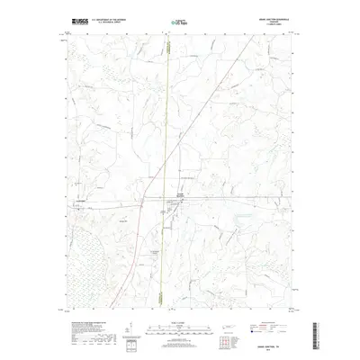
(18)- 1949 Map of Moscow, 1964 Print
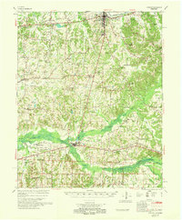
 1949 Moscow1964 Print · USGSFayette County in the late nineteen-forties was a landscape of rail-centered commerce and deeply rooted rural communities. Genealogists and historians can trace numerous family-named landmarks and institutions, from the Fayette Co Training Sch to settlements like Moscow and Hays Crossing.
 - 1950 Map of Grand Junction, 1981 Print
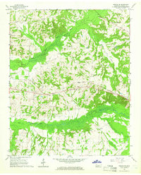
 1950 Grand Junction1981 Print · USGSRailroads converge at Grand Junction in the 1950s, anchoring a landscape of rural schoolhouses and family plantations. Genealogists can trace property and community roots through Ames Plantation, Jones Chapel Sch, and La Grange Cem.
 - 1951 Map of Grand Junction
 1951 Grand Junction1951 Print · USGSThe rail-and-river landscape of the Tennessee borderlands comes alive in this mid-century survey of the junction between the Southern and Illinois Central lines. Genealogists and historians can trace community roots at Ames Plantation, Jones Chapel Sch, and Pleasant Grove Cem.2 unique versions available
 - 1956 Map of Blytheville, 1964 Print
 1956 Blytheville1964 Print · USGSWest Tennessee and the Arkansas Delta come alive in this mid-century survey of the river-and-rail corridor connecting Memphis to Jackson. Genealogists and historians can trace the rail lines of the Louisville and Nashville RR and locate landmarks like Western State Hospital or Fort Pillow State Prison Farm.2 unique versions available
 - 1959 Map of Blytheville
 1959 Blytheville1959 Print · USGSWest Tennessee and Northeast Arkansas meet along the river in the late fifties, during a period of steady industrial and agricultural growth. Genealogists can trace the rail corridors of the Illinois Central through Jackson or explore landmarks like Shiloh National Military Park and Fort Pillow State Prison.
 - 1965 Map of Moscow SE, 1966 Print
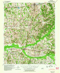
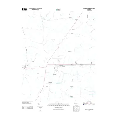
 1965 Moscow SE1966 Print · USGSSouthern Fayette County in the mid-sixties shows a landscape defined by the Wolf River wetlands and the SOUTHERN rail line. Researchers can trace family history through dozens of rural sites like La Grange, Forty Five, and the New Friendship Cem.2 unique versions available
 - 1968 Map of Moscow
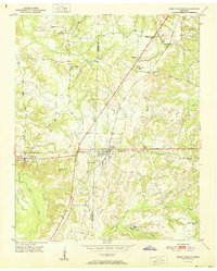
 1968 Moscow1968 Print · USGSSouthern Fayette County in the late sixties reveals a landscape shaped by the Wolf River and the Southern railroad. Genealogists can trace family roots through numerous local landmarks like Corner Sch, Ebenezer Ch, and the Old State Line.
 - 1986 Map of Memphis East
 1986 Memphis East1986 Print · USGSWest Tennessee in the mid-eighties shows the meeting point of Memphis suburban growth and the deep bottomlands of the Hatchie River. Genealogists and historians can trace rail-town development along the Southern Railway and locate major landmarks like Ames Plantation and the U S Naval Air Station.2 unique versions available
 - 2010 Map of Grand Junction, 2010 Print
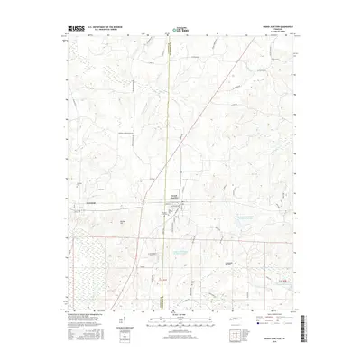
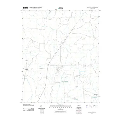 2010 Grand Junction2010 Print · USGSCovers La Grange, including Center Point, Grand Junction, and other nearby areas
 - 2010 Map of Moscow SE, 2010 Print
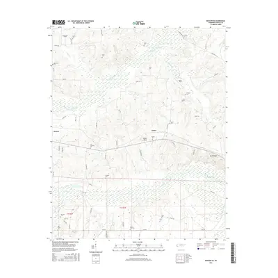
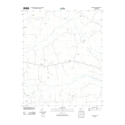 2010 Moscow SE2010 Print · USGSCovers La Grange, including Moscow, Forty Five, and other nearby areas
 - 2013 Map of Moscow SE, 2013 Print
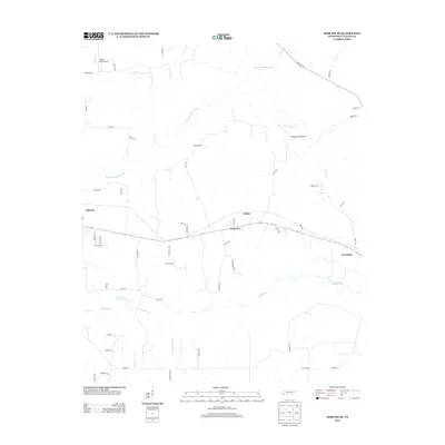 2013 Moscow SE2013 Print · USGSCovers La Grange, including Moscow, Forty Five, and other nearby areas
 - 2013 Map of Grand Junction, 2013 Print
 2013 Grand Junction2013 Print · USGSCovers La Grange, including Center Point, Grand Junction, and other nearby areas
 - 2016 Map of Moscow SE, 2016 Print
 2016 Moscow SE2016 Print · USGSCovers La Grange, including Moscow, Forty Five, and other nearby areas
 - 2016 Map of Grand Junction, 2016 Print
 2016 Grand Junction2016 Print · USGSCovers La Grange, including Center Point, Grand Junction, and other nearby areas
 - 2019 Map of Moscow SE, 2019 Print
 2019 Moscow SE2019 Print · USGSCovers La Grange, including Moscow, Forty Five, and other nearby areas
 - 2019 Map of Grand Junction, 2019 Print
 2019 Grand Junction2019 Print · USGSCovers La Grange, including Center Point, Grand Junction, and other nearby areas
 - 2022 Map of Grand Junction, 2022 Print
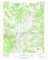
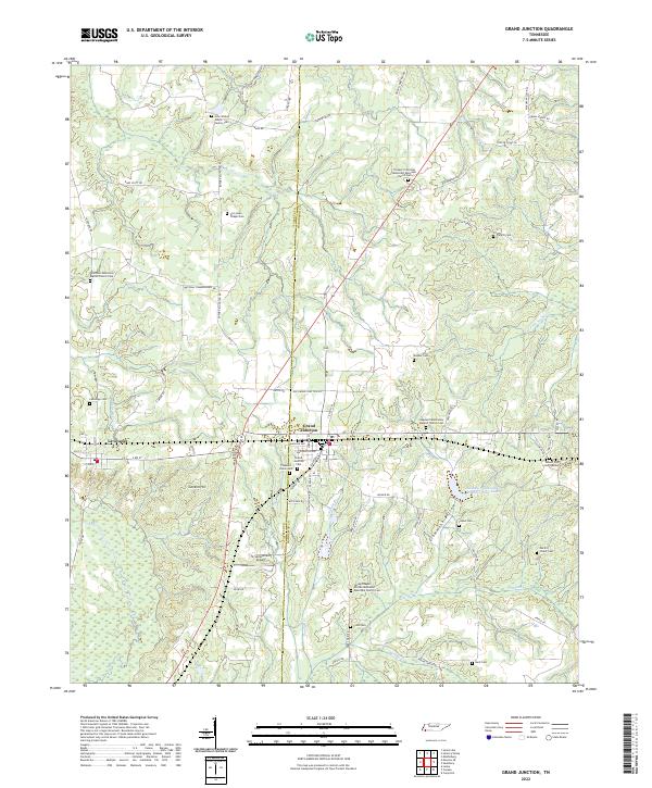 2022 Grand Junction2022 Print · USGSGrand Junction and La Grange are depicted in this recent survey, capturing the agricultural character of the Tennessee borderlands. Genealogists can locate numerous burial sites including John Walker Jones Family Cem and Spring Chapel African Methodist Episcopal Church Cem.
 - 2022 Map of Moscow SE, 2022 Print
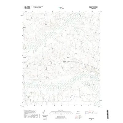
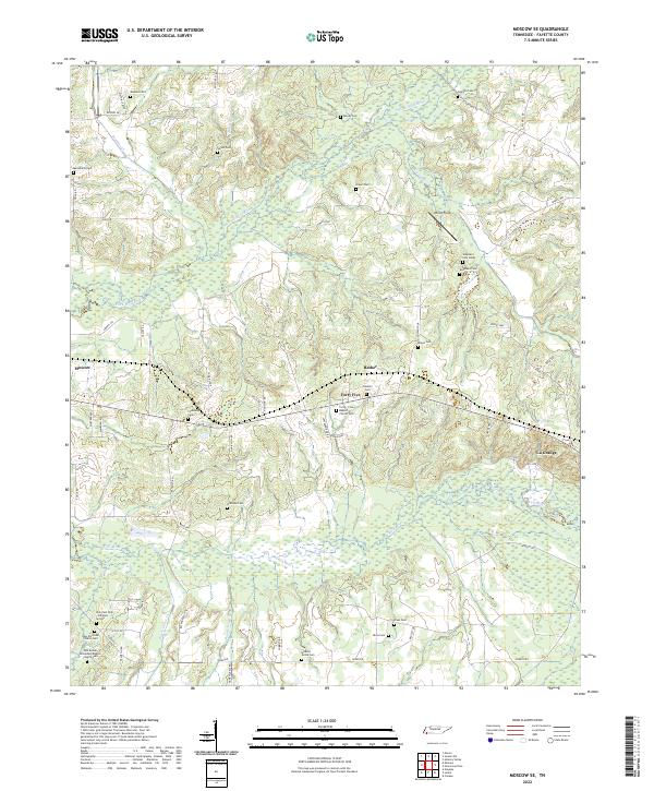 2022 Moscow SE2022 Print · USGSSoutheast Fayette County is defined by the winding Wolf River and its tributaries during the early twenty-first century. Genealogists and historians can trace an incredible density of family and church burial sites, from Watkins Cem to Forty-Five Baptist Church Cem.
End of results
Showing maps 1-18 of 18
Top cities near La Grange
- Bolivar historical maps
- Somerville historical maps
- Ashland historical maps
- Moscow historical maps
- Williston historical maps
- Snow Lake Shores historical maps
See more
Frequently asked questions
- What are the different types of historical maps available for La Grange?
- What is the oldest map of La Grange?
- Where can I purchase historical maps of La Grange for my home or office?
- Where can I download high-res historical maps of La Grange?
- Are there historical topographic maps available for La Grange?
- Is there historical aerial imagery available for La Grange?
- Where are historical maps of La Grange sourced from?