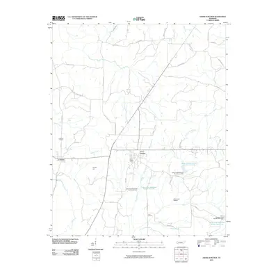
2010 Map of Grand Junction
USGS Topo · Published 2010About this map
La Grange and Grand Junction are the primary hubs of this Fayette County landscape, documented here at the end of the first decade of the 21st century. The terrain is defined by a network of waterways and managed reservoirs, including the Wolf River to the southwest and the expansive Indian Creek Watershed Number Two Lake. This modern survey reveals a highly organized rural infrastructure, where longstanding family and community sites like LaGrange Cemetery and Scott Cemetery are connected by a dense grid of local roads such as Buford Ellington Rd and Old Grand Junction Rd. The topography features notable landmarks like Gordon Hill and the low-lying Clemmons Bottom, illustrating the varied physical geography of the region. The presence of multiple watershed dams, such as Indian Creek Watershed Number Four Dam, highlights the 20th-century engineering efforts to manage local drainage into the Indian Creek system.
Find a feature on this map
47 named features on this map. Tap any name to fly to it.
Don’t see what you’re looking for? This feature index may not catch every label — zoom into the map to look around manually.
Map Details
Editions of this 2010 Grand Junction Map
This is the sole edition of this map. No revisions or reprints were ever made.
Other maps of this area

1949 · Moscow
USGS Topo · 1:62,500

1950 · Ashland
USGS Topo · 1:62,500

1950 · Middleburg
USGS Topo · 1:24,000

1950 · Grand Junction
USGS Topo · 1:24,000

1951 · Middleburg
USGS Topo · 1:24,000

1951 · Hickory Valley
USGS Topo · 1:24,000

1951 · Grand Junction
USGS Topo · 1:24,000

1952 · Saulsbury
USGS Topo · 1:24,000

1953 · Holly Springs
USGS Topo · 1:62,500

1956 · Blytheville
USGS Topo · 1:250,000