Old Maps of Hickory Valley, Tennessee
Explore 16 old maps of Hickory Valley, spanning from 1950 to today. These high-resolution historic maps reveal how streets, neighborhoods, landmarks, and natural features evolved over time — perfect for genealogy, metal detecting, research, and local history exploration.
What you can do with these maps:
- See how Hickory Valley changed over time: Compare historical maps to modern-day views to trace roads, homesites, rail lines & more.
- View detailed metadata: Each map includes creators, publishers, year, scale, and archive source.
- Overlay maps with satellite & LiDAR: Visualize the past alongside modern tools to explore terrain & human change.
- Trusted historical sources: Maps sourced from the USGS, Library of Congress, and other archives.
- Access maps your way: View online, download high-res files, or order prints for personal or research use.
Start exploring old maps of Hickory Valley to uncover forgotten places, hidden landmarks, and the deep history beneath your feet.
Hickory Valley, TN maps
(16)- 1950 Map of Middleburg, 1975 Print
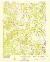
 1950 Middleburg1975 Print · USGSHardeman County, Tennessee, is captured here at mid-century as the ILLINOIS CENTRAL railroad linked rural outposts. Local historians can trace family roots through several landmarks, including Good Shepherd Cem, Sugar Hill Sch, and Now Bethel Ch.2 unique versions available
 - 1951 Map of Middleburg
 1951 Middleburg1951 Print · USGSHardeman County in the early fifties shows a rural landscape where the Illinois Central railroad connects small crossroads. Trace family roots at Good Shepherd Cem or locate the sites of Mathews Sch and New Bethel Ch.
 - 1951 Map of Hickory Valley
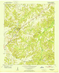
 1951 Hickory Valley1951 Print · USGSHardeman County in the early fifties is captured here as a landscape of small schools and rail-side commerce. Genealogists can trace family roots through the numerous local landmarks, including Woods Cem, Hickory Valley Sch, and Stuart Chapel.3 unique versions available
 - 1956 Map of Blytheville, 1964 Print
 1956 Blytheville1964 Print · USGSWest Tennessee and the Arkansas Delta come alive in this mid-century survey of the river-and-rail corridor connecting Memphis to Jackson. Genealogists and historians can trace the rail lines of the Louisville and Nashville RR and locate landmarks like Western State Hospital or Fort Pillow State Prison Farm.2 unique versions available
 - 1959 Map of Blytheville
 1959 Blytheville1959 Print · USGSWest Tennessee and Northeast Arkansas meet along the river in the late fifties, during a period of steady industrial and agricultural growth. Genealogists can trace the rail corridors of the Illinois Central through Jackson or explore landmarks like Shiloh National Military Park and Fort Pillow State Prison.
 - 1986 Map of Memphis East
 1986 Memphis East1986 Print · USGSWest Tennessee in the mid-eighties shows the meeting point of Memphis suburban growth and the deep bottomlands of the Hatchie River. Genealogists and historians can trace rail-town development along the Southern Railway and locate major landmarks like Ames Plantation and the U S Naval Air Station.2 unique versions available
 - 2010 Map of Middleburg, 2010 Print
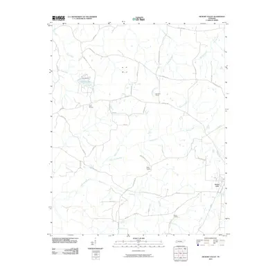
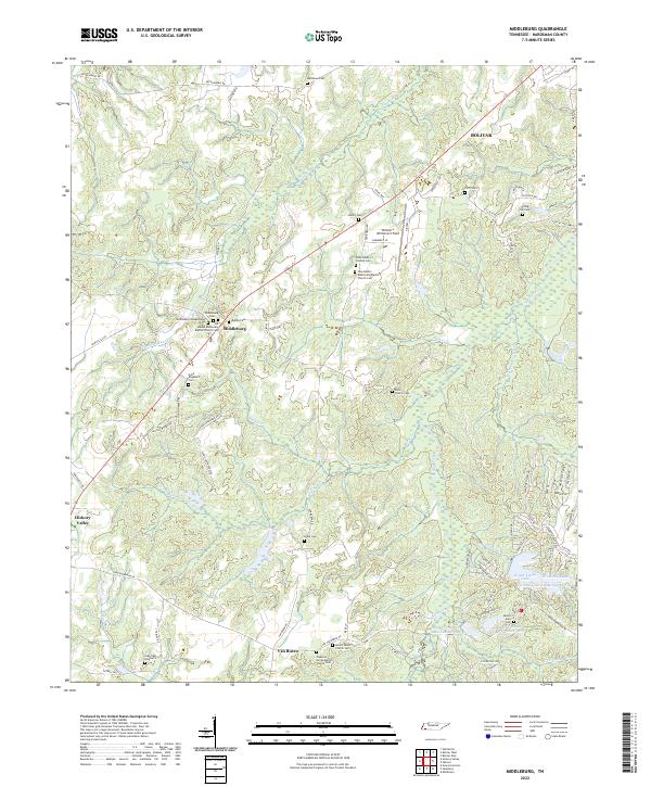
 2010 Middleburg2010 Print · USGSCovers Hickory Valley, including Bolivar, Middleburg, and other nearby areas
 - 2010 Map of Hickory Valley, 2010 Print
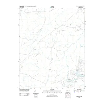
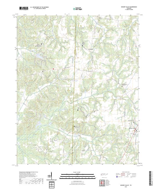
 2010 Hickory Valley2010 Print · USGSCovers Hickory Valley, including Newcastle, Fayette County, and other nearby areas
 - 2013 Map of Middleburg, 2013 Print
 2013 Middleburg2013 Print · USGSCovers Hickory Valley, including Bolivar, Middleburg, and other nearby areas
 - 2013 Map of Hickory Valley, 2013 Print
 2013 Hickory Valley2013 Print · USGSCovers Hickory Valley, including Newcastle, Fayette County, and other nearby areas
 - 2016 Map of Middleburg, 2016 Print
 2016 Middleburg2016 Print · USGSCovers Hickory Valley, including Bolivar, Middleburg, and other nearby areas
 - 2016 Map of Hickory Valley, 2016 Print
 2016 Hickory Valley2016 Print · USGSCovers Hickory Valley, including Newcastle, Fayette County, and other nearby areas
 - 2019 Map of Middleburg, 2019 Print
 2019 Middleburg2019 Print · USGSCovers Hickory Valley, including Bolivar, Middleburg, and other nearby areas
 - 2019 Map of Hickory Valley, 2019 Print
 2019 Hickory Valley2019 Print · USGSCovers Hickory Valley, including Newcastle, Fayette County, and other nearby areas
 - 2022 Map of Middleburg, 2022 Print
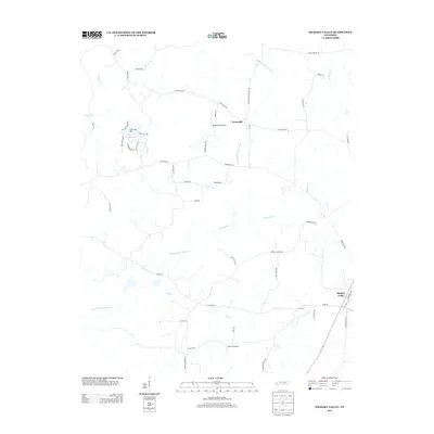
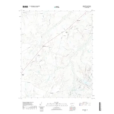
 2022 Middleburg2022 Print · USGSHardeman County settlements like Middleburg and Van Buren are documented here in the early twenty-first century. Family history researchers can trace local roots through numerous sites including Spring Hill Cem, Clifft Cem, and Mount Zion Cem.
 - 2022 Map of Hickory Valley, 2022 Print
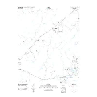
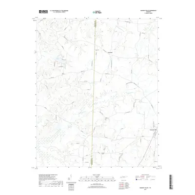
 2022 Hickory Valley2022 Print · USGSHardeman and Fayette Counties meet in this rural Tennessee landscape during the early 2020s, showing a well-preserved network of country churches and family cemeteries. Genealogists can locate legacy sites like Mays Hill Missionary Baptist Church Cem and the Hickory Valley Cemetery.
End of results
Showing maps 1-16 of 16
Top cities near Hickory Valley
- Bolivar historical maps
- Somerville historical maps
- Whiteville historical maps
- Walnut historical maps
- Toone historical maps
- La Grange historical maps
See more
Frequently asked questions
- What are the different types of historical maps available for Hickory Valley?
- What is the oldest map of Hickory Valley?
- Where can I purchase historical maps of Hickory Valley for my home or office?
- Where can I download high-res historical maps of Hickory Valley?
- Are there historical topographic maps available for Hickory Valley?
- Is there historical aerial imagery available for Hickory Valley?
- Where are historical maps of Hickory Valley sourced from?