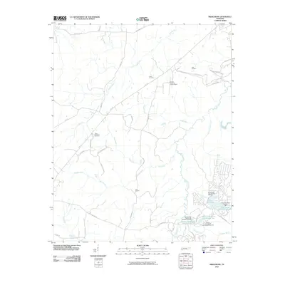
2010 Map of Middleburg
USGS Topo · Published 2010About this map
Bolivar-Hardeman County Airport serves as a modern anchor in this landscape of rural Hardeman County, where the topography is defined by the winding paths of Spring Creek and its many tributaries. The area is marked by a network of family-named landmarks and essential community sites, including Good Shepherd Cemetery, Clifft Cemetery, and Avent Cemetery. These sites are linked by local thoroughfares such as Hwy 18 S and Lake Hardeman Rd, which cut through a terrain of creeks and branches.
Find a feature on this map
46 named features on this map. Tap any name to fly to it.
Don’t see what you’re looking for? This feature index may not catch every label — zoom into the map to look around manually.
Map Details
Editions of this 2010 Middleburg Map
This is the sole edition of this map. No revisions or reprints were ever made.
Other maps of this area

1950 · Hebron
USGS Topo · 1:24,000

1950 · Middleburg
USGS Topo · 1:24,000

1950 · Middleton
USGS Topo · 1:24,000

1950 · Grand Junction
USGS Topo · 1:24,000

1951 · Middleton
USGS Topo · 1:24,000

1951 · Middleburg
USGS Topo · 1:24,000

1951 · Hebron
USGS Topo · 1:24,000

1951 · Hickory Valley
USGS Topo · 1:24,000

1951 · Grand Junction
USGS Topo · 1:24,000

1952 · Saulsbury
USGS Topo · 1:24,000