
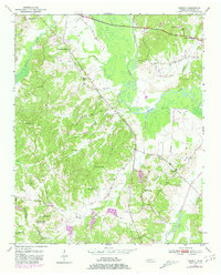
1950 Map of Hebron
USGS Topo · Published 1973About this map
The Hatchie River meanders through the heart of Hardeman County in the early 1950s, its wide floodplain known as The Big Bottom dominating the central landscape. This rural stretch of West Tennessee is defined by its network of creek-side communities and country institutions. The settlement of Hebron serves as a local anchor, surrounded by numerous family-named landmarks and rural gathering places.
Find a feature on this map
27 named features on this map. Tap any name to fly to it.
Don’t see what you’re looking for? This feature index may not catch every label — zoom into the map to look around manually.
Map Details
Editions of this 1950 Hebron Map
3 editions found
Other maps of this area

1950 · Pocahontas
USGS Topo · 1:24,000

1950 · Hornsby
USGS Topo · 1:24,000

1950 · Middleburg
USGS Topo · 1:24,000

1950 · Middleton
USGS Topo · 1:24,000

1951 · Middleton
USGS Topo · 1:24,000

1951 · Middleburg
USGS Topo · 1:24,000

1951 · Hebron
USGS Topo · 1:24,000

1951 · Hornsby
USGS Topo · 1:24,000

1952 · Pocahontas
USGS Topo · 1:24,000

1952 · Saulsbury
USGS Topo · 1:24,000