
1950 Map of Hornsby
USGS Topo · Published 1973About this map
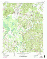
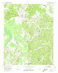
The settlement of Hornsby serves as a focal point for this survey of the Hardeman County landscape, situated where the Gulf Mobile and Ohio railroad corridor cuts across the northern terrain. The landscape is dominated by the meandering course of the Hatchie River and its expansive floodplain, identified as The Big Bottom. This river system, joined by tributaries like Little Hatchie Creek and Dog Tail Creek, creates a complex network of wetlands and sloughs that likely dictated the placement of early homesteads and transport routes.
Find a feature on this map
35 named features on this map. Tap any name to fly to it.
Don’t see what you’re looking for? This feature index may not catch every label — zoom into the map to look around manually.
Map Details
Editions of this 1950 Hornsby Map
3 editions found
Other maps of this area

1950 · Pocahontas
USGS Topo · 1:24,000

1950 · Hebron
USGS Topo · 1:24,000

1950 · Middleton
USGS Topo · 1:24,000

1951 · Middleton
USGS Topo · 1:24,000

1951 · Hebron
USGS Topo · 1:24,000

1951 · Hornsby
USGS Topo · 1:24,000

1951 · Chewalla
USGS Topo · 1:24,000

1951 · Rose Creek
USGS Topo · 1:24,000

1952 · Pocahontas
USGS Topo · 1:24,000

1956 · Blytheville
USGS Topo · 1:250,000