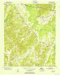
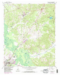
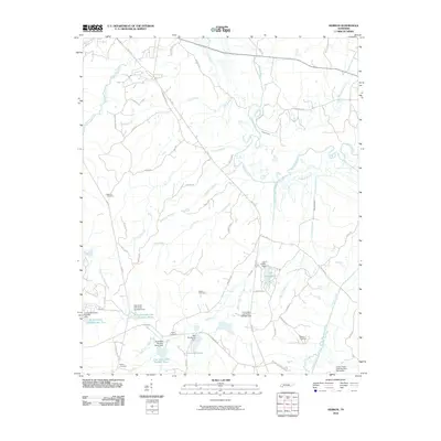
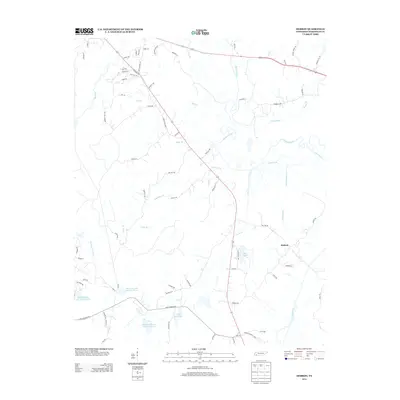
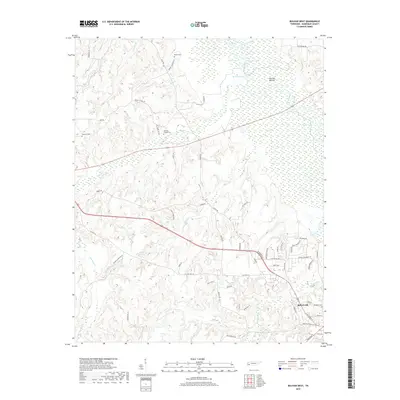
1951 Map of Hebron
USGS Topo · Published 1951About this map
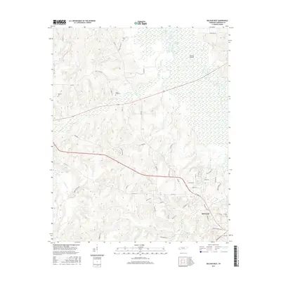
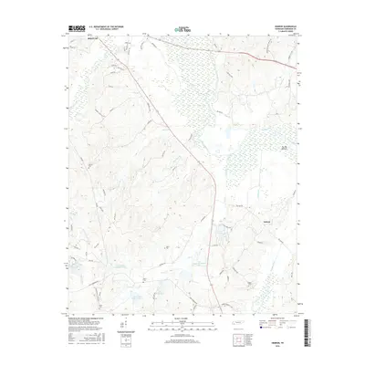
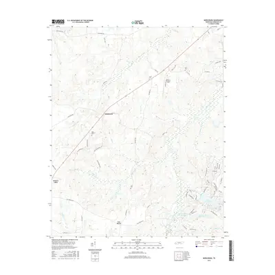
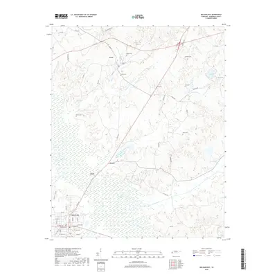
The Hatchie River meanders through the heart of Hardeman County in the early 1950s, creating a wide floodplain known as The Big Bottom. This survey reveals a rural landscape defined by small upland settlements and the watercourses that drain toward the river, including Deadman Branch and Welcome Usher Creek. The settlement of Hebron serves as a local anchor, while the surrounding hills are dotted with foundational community institutions such as Campbell Chapel and Mt Olive Sch. For genealogists, the map provides precise locations for several family-associated landmarks, including Salem Cem and Harris Cem. The concentration of rural schools like Oak Hill Sch and Burnette Sch highlights the decentralized nature of West Tennessee education during this era, before major consolidation changed the character of these farming communities.
Find a feature on this map
27 named features on this map. Tap any name to fly to it.
Don’t see what you’re looking for? This feature index may not catch every label — zoom into the map to look around manually.
Map Details
Editions of this 1951 Hebron Map
This is the sole edition of this map. No revisions or reprints were ever made.
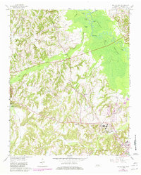
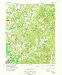
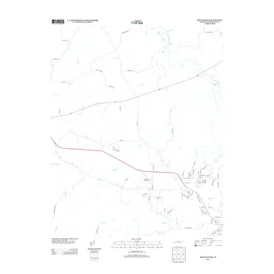
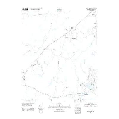
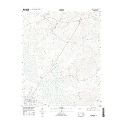
Historical Maps of Bolivar Through Time
27 maps found
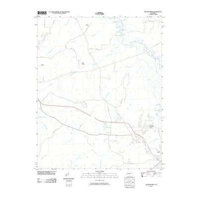
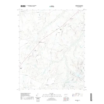
1950 Hebron
Hardeman County, TN
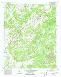
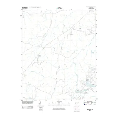
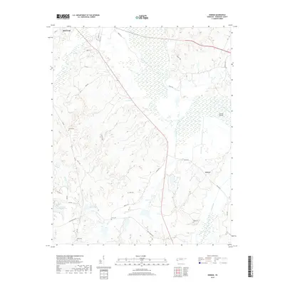
1950 Middleburg
Hardeman County, TN
1951 Hebron
Hardeman County, TN
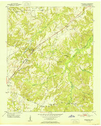
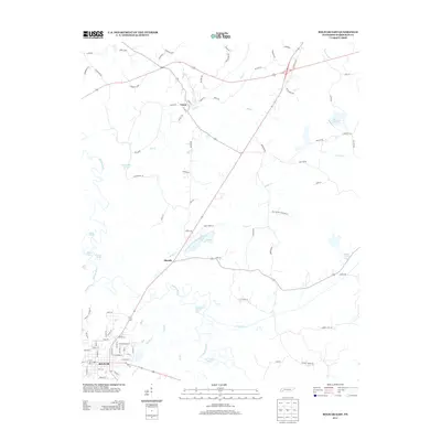
1951 Middleburg
Hardeman County, TN
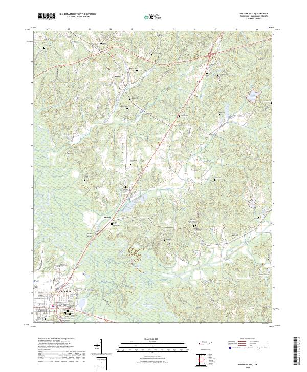
1961 Bolivar East
Hardeman County, TN
1961 Bolivar West
Hardeman County, TN
1971 Teague
Hardeman County, TN
2010 Bolivar East
Hardeman County, TN
2010 Bolivar West
Hardeman County, TN
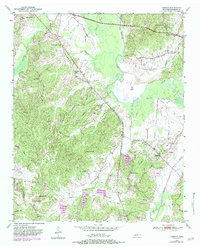
2010 Hebron
Hardeman County, TN
2010 Middleburg
Hardeman County, TN
2013 Bolivar East
Hardeman County, TN
2013 Bolivar West
Hardeman County, TN
2013 Hebron
Hardeman County, TN
2013 Middleburg
Hardeman County, TN
2016 Bolivar East
Hardeman County, TN
2016 Bolivar West
Hardeman County, TN
2016 Hebron
Hardeman County, TN
2016 Middleburg
Hardeman County, TN
2019 Bolivar East
Hardeman County, TN
2019 Bolivar West
Hardeman County, TN
2019 Hebron
Hardeman County, TN
2019 Middleburg
Hardeman County, TN
2022 Bolivar East
Hardeman County, TN
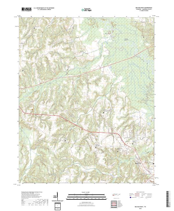
2022 Bolivar West
Hardeman County, TN
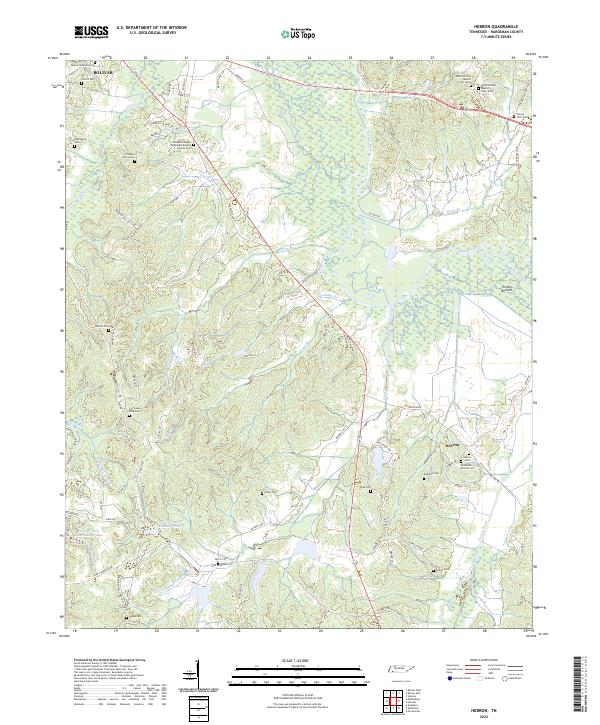
2022 Hebron
Hardeman County, TN
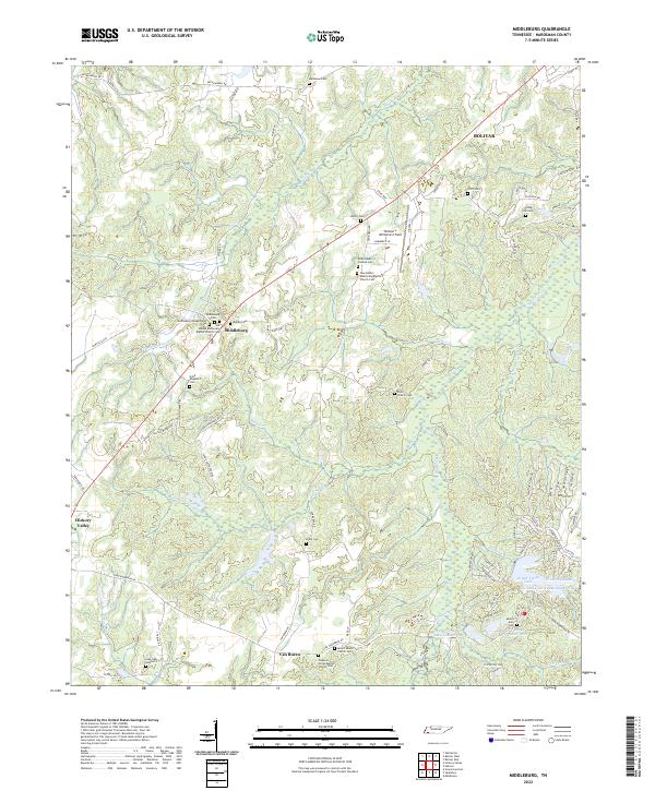
2022 Middleburg
Hardeman County, TN