Old Maps of Bolivar, Tennessee
Explore 32 old maps of Bolivar, spanning from 1950 to today. These high-resolution historic maps reveal how streets, neighborhoods, landmarks, and natural features evolved over time — perfect for genealogy, metal detecting, research, and local history exploration.
What you can do with these maps:
- See how Bolivar changed over time: Compare historical maps to modern-day views to trace roads, homesites, rail lines & more.
- View detailed metadata: Each map includes creators, publishers, year, scale, and archive source.
- Overlay maps with satellite & LiDAR: Visualize the past alongside modern tools to explore terrain & human change.
- Trusted historical sources: Maps sourced from the USGS, Library of Congress, and other archives.
- Access maps your way: View online, download high-res files, or order prints for personal or research use.
Start exploring old maps of Bolivar to uncover forgotten places, hidden landmarks, and the deep history beneath your feet.
Bolivar, TN maps
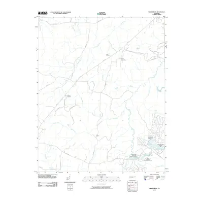
(32)- 1950 Map of Hebron, 1973 Print
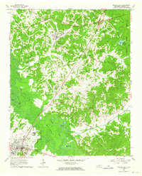
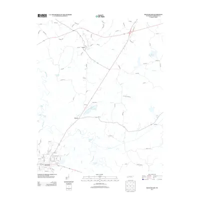
 1950 Hebron1973 Print · USGSThe Hatchie River floodplain and the small community of Hebron are captured at mid-century during a period of rural stability. Family researchers can pinpoint Oak Hill Sch, Salem Cem, and Bowder Hill Ch among the many local landmarks.3 unique versions available
 - 1950 Map of Middleburg, 1975 Print
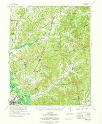
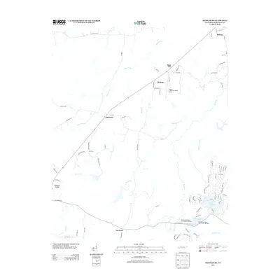
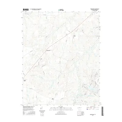
 1950 Middleburg1975 Print · USGSHardeman County, Tennessee, is captured here at mid-century as the ILLINOIS CENTRAL railroad linked rural outposts. Local historians can trace family roots through several landmarks, including Good Shepherd Cem, Sugar Hill Sch, and Now Bethel Ch.2 unique versions available
 - 1951 Map of Middleburg
 1951 Middleburg1951 Print · USGSHardeman County in the early fifties shows a rural landscape where the Illinois Central railroad connects small crossroads. Trace family roots at Good Shepherd Cem or locate the sites of Mathews Sch and New Bethel Ch.
 - 1951 Map of Hebron
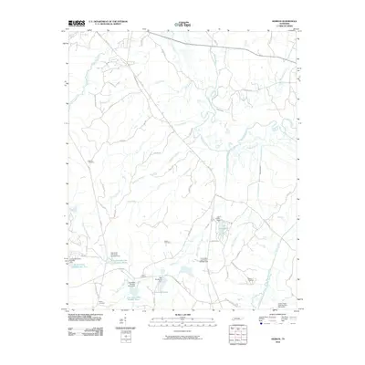
 1951 Hebron1951 Print · USGSHardeman County settlements and the winding Hatchie River valley are captured here at mid-century during a period of traditional rural life. Researchers can locate family landmarks like Salem Cem, Oak Hill Sch, and the community of Hebron.
 - 1956 Map of Blytheville, 1964 Print
 1956 Blytheville1964 Print · USGSWest Tennessee and the Arkansas Delta come alive in this mid-century survey of the river-and-rail corridor connecting Memphis to Jackson. Genealogists and historians can trace the rail lines of the Louisville and Nashville RR and locate landmarks like Western State Hospital or Fort Pillow State Prison Farm.2 unique versions available
 - 1959 Map of Blytheville
 1959 Blytheville1959 Print · USGSWest Tennessee and Northeast Arkansas meet along the river in the late fifties, during a period of steady industrial and agricultural growth. Genealogists can trace the rail corridors of the Illinois Central through Jackson or explore landmarks like Shiloh National Military Park and Fort Pillow State Prison.
 - 1961 Map of Bolivar West, 1963 Print
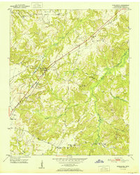
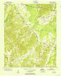
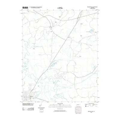
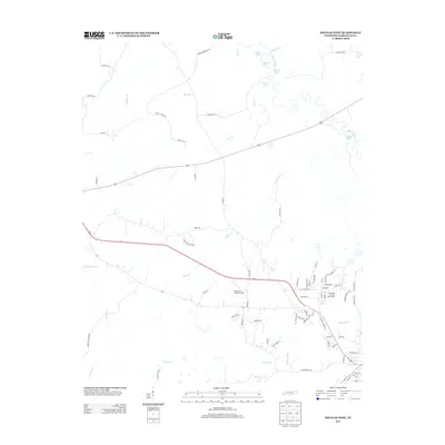
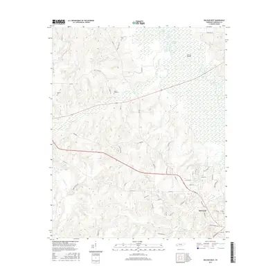
 1961 Bolivar West1963 Print · USGSHardeman County's river-bottom landscape and rural communities are preserved here as they appeared in the early sixties. Genealogists and local historians can trace family sites like Norment Cem, Bethlehem Ch, and the extensive grounds of Western State Hospital.2 unique versions available
 - 1961 Map of Bolivar East, 1964 Print
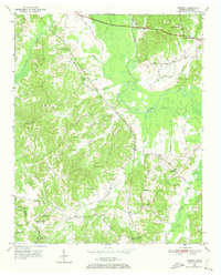
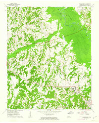
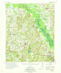
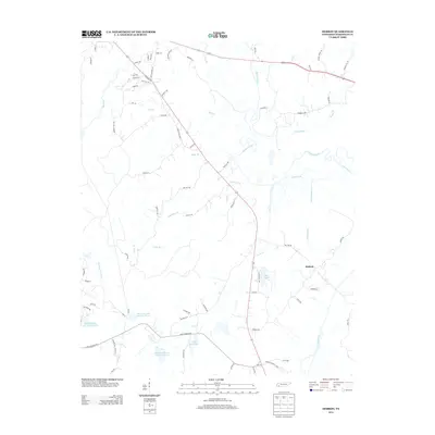
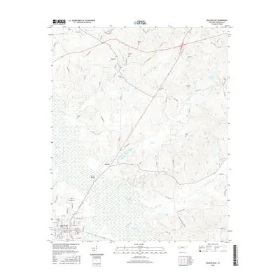
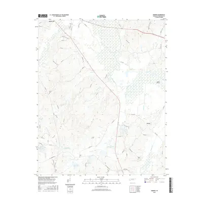
 1961 Bolivar East1964 Print · USGSHardeman County in the early sixties reveals a landscape shaped by the Illinois Central railroad and the winding Hatchie River. Researchers can trace family history through numerous rural landmarks like Toone Cem, Ebenezer Ch, and Lake Lajoie.4 unique versions available
 - 1971 Map of Teague
 1971 Teague1971 Print · USGSThe Hatchie River lowlands and the uplands of Chickasaw State Park are captured here in the early seventies. Genealogists and historians can trace rail-side communities like Medon and Toone or locate family sites like Maple Springs Cem and Toone Sch.
 - 1971 Map of Whiteville
 1971 Whiteville1971 Print · USGSWest Tennessee’s river-bottom country is captured here in the early seventies, centered on the Hatchie River and its vast wetlands. Genealogists can trace family names through dozens of rural landmarks like Hayes Chapel Cem, Rubens Sch, and the Western State Hospital grounds.
 - 1986 Map of Memphis East
 1986 Memphis East1986 Print · USGSWest Tennessee in the mid-eighties shows the meeting point of Memphis suburban growth and the deep bottomlands of the Hatchie River. Genealogists and historians can trace rail-town development along the Southern Railway and locate major landmarks like Ames Plantation and the U S Naval Air Station.2 unique versions available
 - 1986 Map of Selmer
 1986 Selmer1986 Print · USGSThe Tennessee River valley and the West Tennessee highlands come into focus in the mid-eighties, showing the region's unique intersection of Civil War history and modern infrastructure. Genealogists and researchers can trace family landmarks like Gillisses Mills, the campus of Freed-Hardeman College, and the hallowed grounds of Shiloh National Military Park.3 unique versions available
 - 2010 Map of Bolivar West, 2010 Print
 2010 Bolivar West2010 Print · USGSCovers Bolivar, including Hardeman County, United States, and other nearby areas
 - 2010 Map of Middleburg, 2010 Print
 2010 Middleburg2010 Print · USGSCovers Bolivar, including Hickory Valley, Middleburg, and other nearby areas
 - 2010 Map of Hebron, 2010 Print
 2010 Hebron2010 Print · USGSCovers Bolivar, including Hebron, Hardeman County, and other nearby areas
 - 2010 Map of Bolivar East, 2010 Print
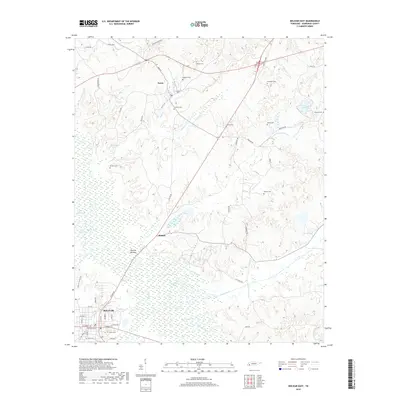
 2010 Bolivar East2010 Print · USGSCovers Bolivar, including Toone, Shandy, and other nearby areas
 - 2013 Map of Hebron, 2013 Print
 2013 Hebron2013 Print · USGSCovers Bolivar, including Hebron, Hardeman County, and other nearby areas
 - 2013 Map of Bolivar East, 2013 Print
 2013 Bolivar East2013 Print · USGSCovers Bolivar, including Toone, Shandy, and other nearby areas
 - 2013 Map of Middleburg, 2013 Print
 2013 Middleburg2013 Print · USGSCovers Bolivar, including Hickory Valley, Middleburg, and other nearby areas
 - 2013 Map of Bolivar West, 2013 Print
 2013 Bolivar West2013 Print · USGSCovers Bolivar, including Hardeman County, United States, and other nearby areas
 - 2016 Map of Bolivar East, 2016 Print
 2016 Bolivar East2016 Print · USGSCovers Bolivar, including Toone, Shandy, and other nearby areas
 - 2016 Map of Hebron, 2016 Print
 2016 Hebron2016 Print · USGSCovers Bolivar, including Hebron, Hardeman County, and other nearby areas
 - 2016 Map of Middleburg, 2016 Print
 2016 Middleburg2016 Print · USGSCovers Bolivar, including Hickory Valley, Middleburg, and other nearby areas
 - 2016 Map of Bolivar West, 2016 Print
 2016 Bolivar West2016 Print · USGSCovers Bolivar, including Hardeman County, United States, and other nearby areas
 - 2019 Map of Bolivar East, 2019 Print
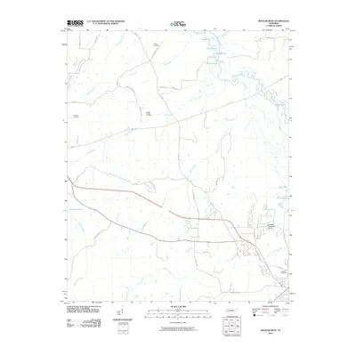
 2019 Bolivar East2019 Print · USGSCovers Bolivar, including Toone, Shandy, and other nearby areas
Showing maps 1-25 of 32
Top cities near Bolivar
- Whiteville historical maps
- Middleton historical maps
- Toone historical maps
- Hornsby historical maps
- Medon historical maps
- La Grange historical maps
See more
Top neighborhoods of Bolivar
Frequently asked questions
- What are the different types of historical maps available for Bolivar?
- What is the oldest map of Bolivar?
- Where can I purchase historical maps of Bolivar for my home or office?
- Where can I download high-res historical maps of Bolivar?
- Are there historical topographic maps available for Bolivar?
- Is there historical aerial imagery available for Bolivar?
- Where are historical maps of Bolivar sourced from?