Loading...
Loading map...1950 Map of Hornsby
USGS Topo · Published 1981About this map
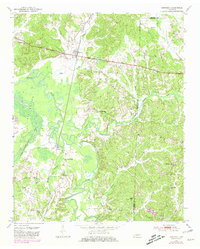
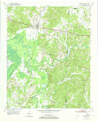
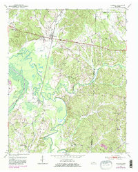
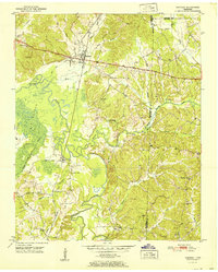
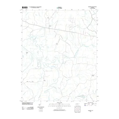
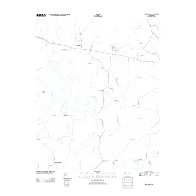
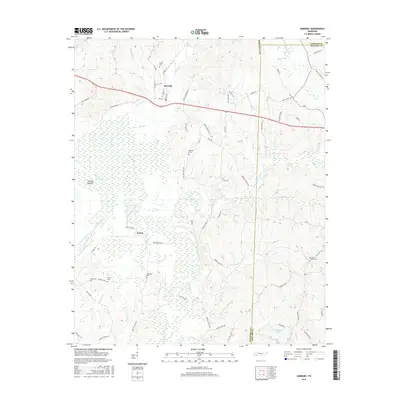
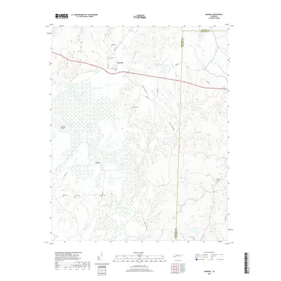
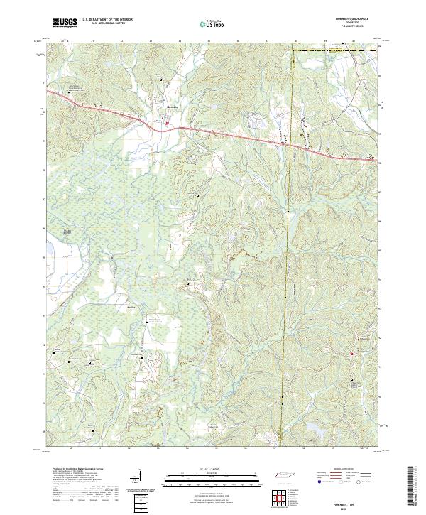
The town of Hornsby serves as the focal point of this mid-century landscape, situated where the Illinois Central railroad cuts through the timbered hills and bottomlands of West Tennessee. The geography is defined by the winding course of the Hatchie River and its expansive floodplain known as The Big Bottom. This 1950 survey, which includes purple photorevisions from 1978, illustrates a rural society deeply rooted in small church and school districts.
Find a feature on this map
36 named features on this map. Tap any name to fly to it.
Don’t see what you’re looking for? This feature index may not catch every label — zoom into the map to look around manually.
Map Details
Date Portrayed1950
Date Published1981
PublisherU.S. Geological Survey
Map TypeTopographic
Scale1:24,000
Physical Dimensions22 x 27.4 inches
Editions of this 1950 Hornsby Map
3 editions found
Historical Maps of Hornsby Through Time
7 maps found
Featured Locations
Source Details
SourceU.S. Geological Survey
CopyrightPublic Domain