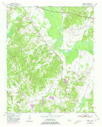
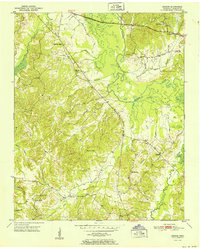
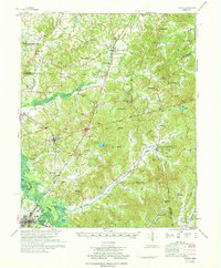
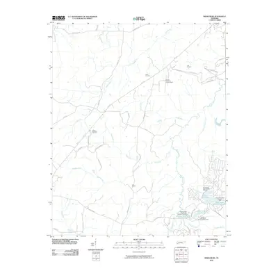
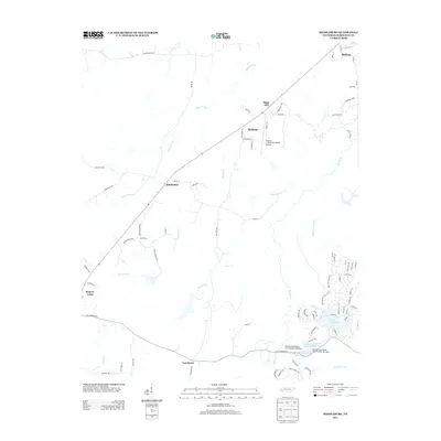
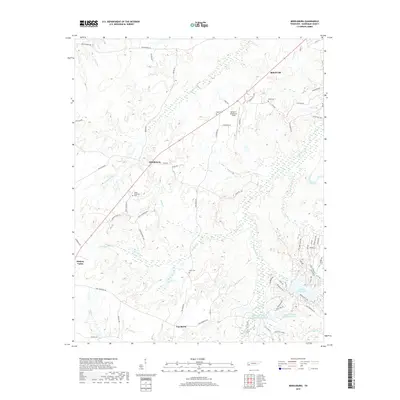
1950 Map of Hebron
USGS Topo · Published 1981About this map
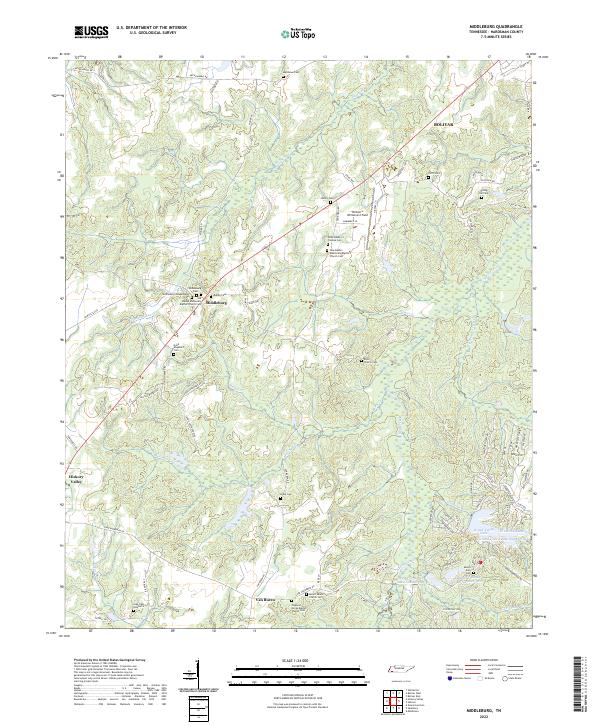
Hatchie River and its expansive Hatchie Bottom dominate the central geography of this Hardeman County survey. The landscape is defined by the winding river and its numerous tributaries, including The Big Creek, Porters Creek, and Cub Creek, which create a complex network of wetlands and drainage basins. The settlement at Hebron sits near the junction of several local routes, serving as a focal point for a rural community structured around small schools and country churches.
Find a feature on this map
32 named features on this map. Tap any name to fly to it.
Don’t see what you’re looking for? This feature index may not catch every label — zoom into the map to look around manually.
Map Details
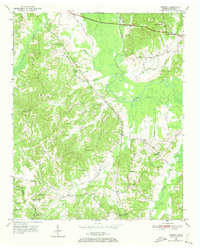
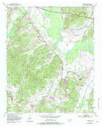
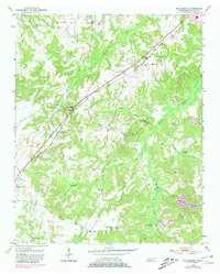
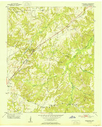
Editions of this 1950 Hebron Map
3 editions found
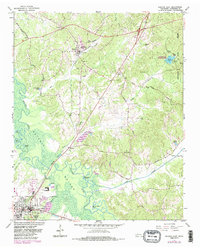
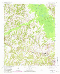
Historical Maps of Bolivar Through Time
27 maps found
1950 Hebron
Hardeman County, TN
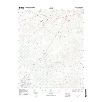
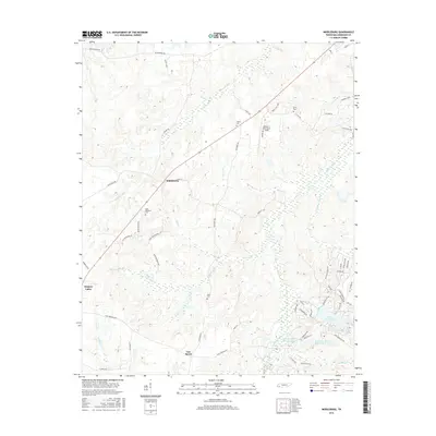
1950 Middleburg
Hardeman County, TN
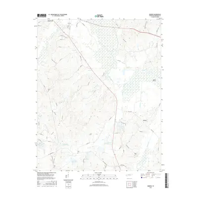
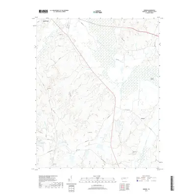
1951 Hebron
Hardeman County, TN
1951 Middleburg
Hardeman County, TN
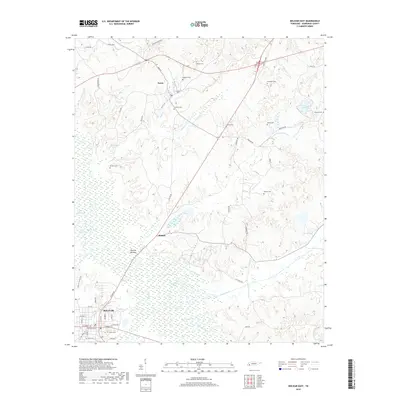
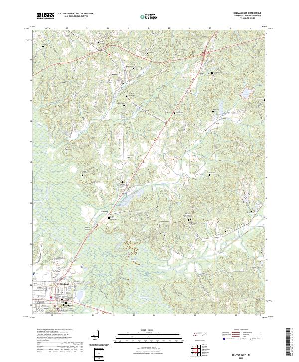
1961 Bolivar East
Hardeman County, TN
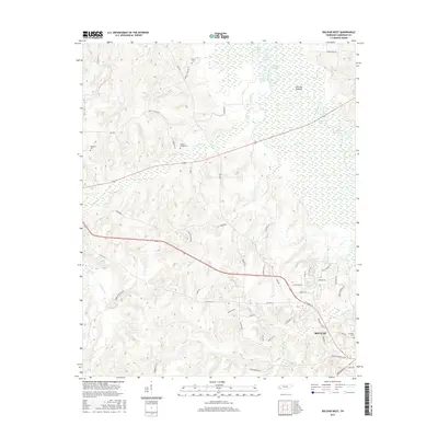
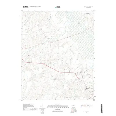
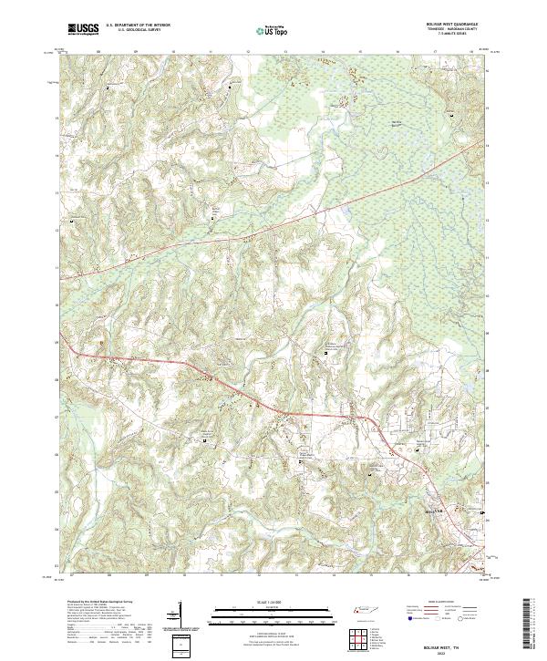
1961 Bolivar West
Hardeman County, TN
1971 Teague
Hardeman County, TN
2010 Bolivar East
Hardeman County, TN
2010 Bolivar West
Hardeman County, TN
2010 Hebron
Hardeman County, TN
2010 Middleburg
Hardeman County, TN
2013 Bolivar East
Hardeman County, TN
2013 Bolivar West
Hardeman County, TN
2013 Hebron
Hardeman County, TN
2013 Middleburg
Hardeman County, TN
2016 Bolivar East
Hardeman County, TN
2016 Bolivar West
Hardeman County, TN
2016 Hebron
Hardeman County, TN
2016 Middleburg
Hardeman County, TN
2019 Bolivar East
Hardeman County, TN
2019 Bolivar West
Hardeman County, TN
2019 Hebron
Hardeman County, TN
2019 Middleburg
Hardeman County, TN
2022 Bolivar East
Hardeman County, TN
2022 Bolivar West
Hardeman County, TN
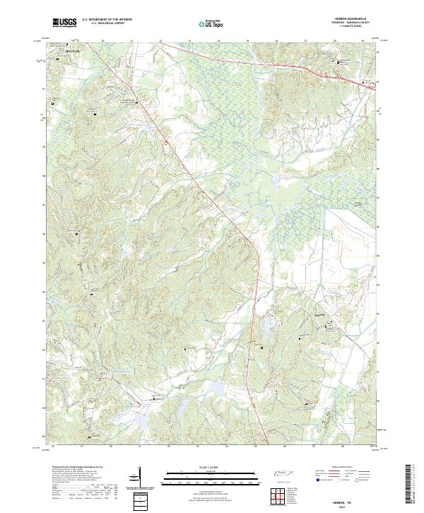
2022 Hebron
Hardeman County, TN
2022 Middleburg
Hardeman County, TN