2000s (21st Century) Maps of Hickory Valley, Tennessee
Explore 10 historic maps of Hickory Valley from the 2000s (21st Century). These maps offer a rare glimpse into what life looked like during the 2000s — showing old roads, neighborhoods, homes, and landmarks that have changed or disappeared over time.
Whether you're researching your family's past, planning a metal detecting trip, or studying how Hickory Valley's landscape evolved across the 2000s, these high-resolution maps are a powerful tool for exploring the history of this region.
- Focus on a specific era: All maps on this page are from the 2000s, giving you a focused view of this time period.
- See what’s changed: Compare century-old streets, trails, and buildings to today's modern landscape using overlays and satellite layers.
- Research with precision: Use these maps for genealogy, historical research, land use analysis, or educational projects.
- View, download, or print: Maps are fully viewable online in high resolution, and can be downloaded or printed for your own records.
Start exploring Hickory Valley's history through authentic maps from the 2000s. This is your window into the past.
Hickory Valley, TN maps
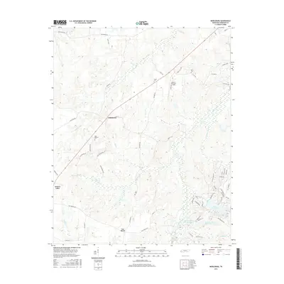
(10)- 2010 Map of Middleburg, 2010 Print
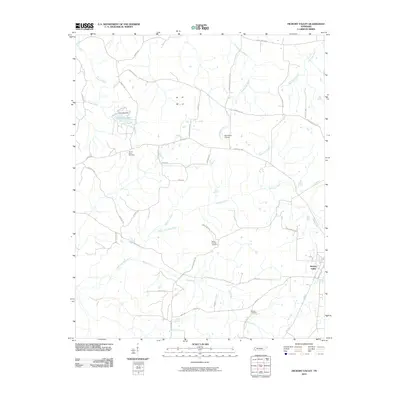
 2010 Middleburg2010 Print · USGSCovers Hickory Valley, including Bolivar, Middleburg, and other nearby areas
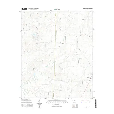
 - 2010 Map of Hickory Valley, 2010 Print
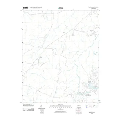
 2010 Hickory Valley2010 Print · USGSCovers Hickory Valley, including Newcastle, Fayette County, and other nearby areas
 - 2013 Map of Middleburg, 2013 Print
 2013 Middleburg2013 Print · USGSCovers Hickory Valley, including Bolivar, Middleburg, and other nearby areas
 - 2013 Map of Hickory Valley, 2013 Print
 2013 Hickory Valley2013 Print · USGSCovers Hickory Valley, including Newcastle, Fayette County, and other nearby areas
 - 2016 Map of Middleburg, 2016 Print
 2016 Middleburg2016 Print · USGSCovers Hickory Valley, including Bolivar, Middleburg, and other nearby areas
 - 2016 Map of Hickory Valley, 2016 Print
 2016 Hickory Valley2016 Print · USGSCovers Hickory Valley, including Newcastle, Fayette County, and other nearby areas
 - 2019 Map of Middleburg, 2019 Print
 2019 Middleburg2019 Print · USGSCovers Hickory Valley, including Bolivar, Middleburg, and other nearby areas
 - 2019 Map of Hickory Valley, 2019 Print
 2019 Hickory Valley2019 Print · USGSCovers Hickory Valley, including Newcastle, Fayette County, and other nearby areas
 - 2022 Map of Middleburg, 2022 Print
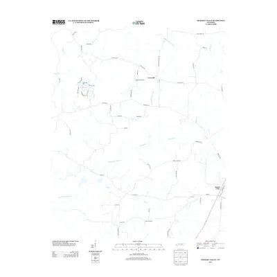
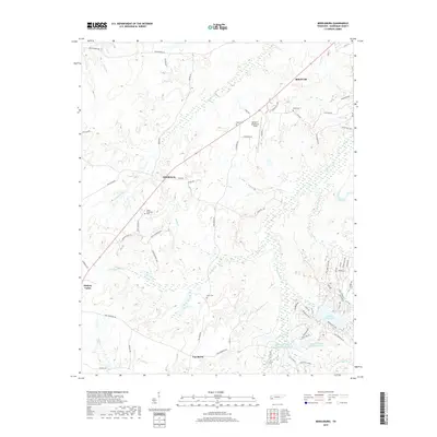
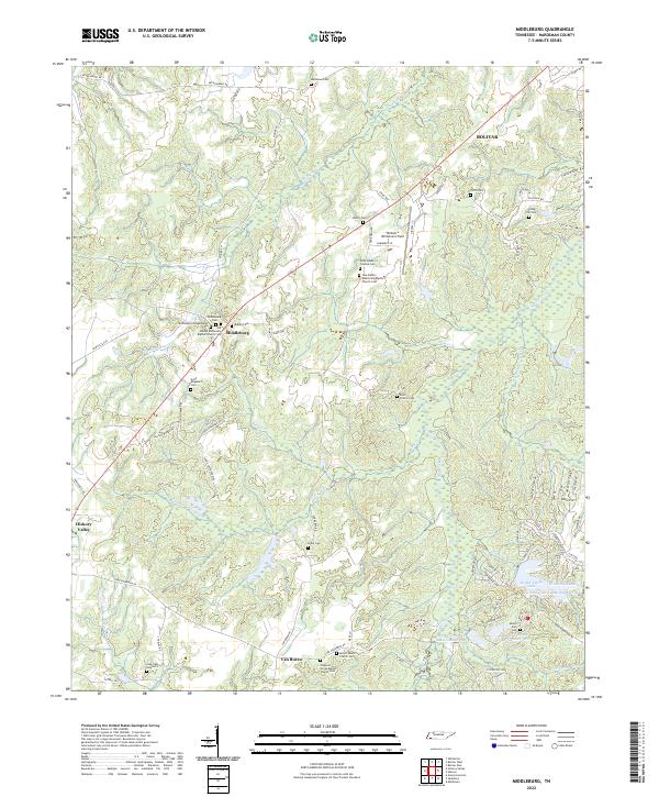 2022 Middleburg2022 Print · USGSHardeman County settlements like Middleburg and Van Buren are documented here in the early twenty-first century. Family history researchers can trace local roots through numerous sites including Spring Hill Cem, Clifft Cem, and Mount Zion Cem.
 - 2022 Map of Hickory Valley, 2022 Print
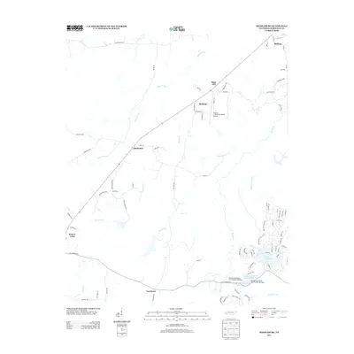
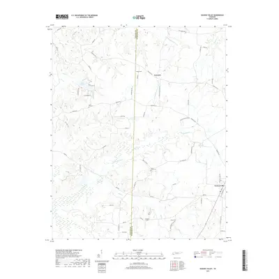
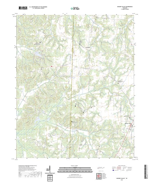 2022 Hickory Valley2022 Print · USGSHardeman and Fayette Counties meet in this rural Tennessee landscape during the early 2020s, showing a well-preserved network of country churches and family cemeteries. Genealogists can locate legacy sites like Mays Hill Missionary Baptist Church Cem and the Hickory Valley Cemetery.
End of results
Showing maps 1-10 of 10
Top cities near Hickory Valley
- Bolivar historical maps
- Somerville historical maps
- Whiteville historical maps
- Walnut historical maps
- Toone historical maps
- La Grange historical maps
See more
Frequently asked questions
- What are the different types of historical maps available for Hickory Valley?
- What is the oldest map of Hickory Valley?
- Where can I purchase historical maps of Hickory Valley for my home or office?
- Where can I download high-res historical maps of Hickory Valley?
- Are there historical topographic maps available for Hickory Valley?
- Is there historical aerial imagery available for Hickory Valley?
- Where are historical maps of Hickory Valley sourced from?