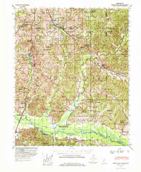
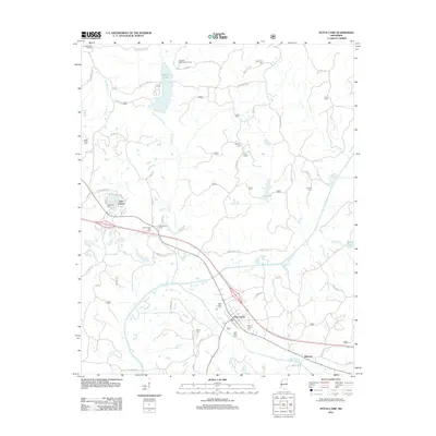
1944 Map of Potts Camp
USGS Topo · Published 1973About this map
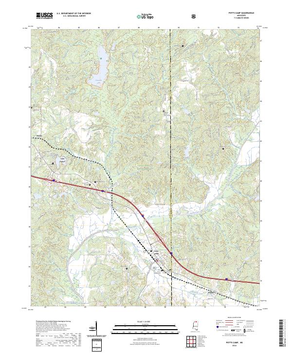
Holly Springs National Forest dominates much of this landscape, where the St Louis-San Francisco railroad cuts a diagonal path through northern Marshall County. The rail line anchors small settlements like Potts Camp and Waterford, which serve as local hubs for the surrounding farm and forest land. In the south, the Tallahatchie River valley has been significantly altered by twentieth-century engineering, visible in the Tallahatchie Canal (1917) and the northern reaches of the Sardis Reservoir. The map captures a high density of rural institutions including Calvin Chapel Ch & Sch and Hamilton Sch & Cem, reflecting the scattered community structure before more modern consolidation. For genealogists, the numerous family-linked landmarks and small cemeteries provide a detailed record of local residency during the mid-1940s.
Find a feature on this map
87 named features on this map. Tap any name to fly to it.
Don’t see what you’re looking for? This feature index may not catch every label — zoom into the map to look around manually.
Map Details
Editions of this 1944 Potts Camp Map
This is the sole edition of this map. No revisions or reprints were ever made.
Historical Maps of Holly Springs Through Time
9 maps found
1944 Potts Camp
Marshall County, MS
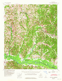
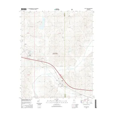
1945 Potts Camp
Marshall County, MS
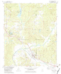
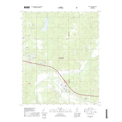
1982 Potts Camp
Marshall County, MS
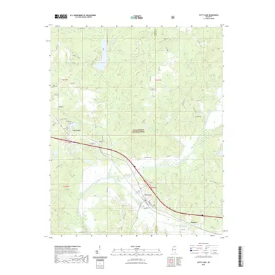
2000 Potts Camp
Marshall County, MS
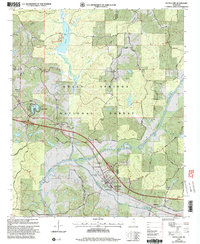
2012 Potts Camp
Marshall County, MS
2015 Potts Camp
Marshall County, MS
2018 Potts Camp
Marshall County, MS
2021 Potts Camp
Marshall County, MS
2024 Potts Camp
Marshall County, MS