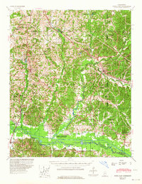
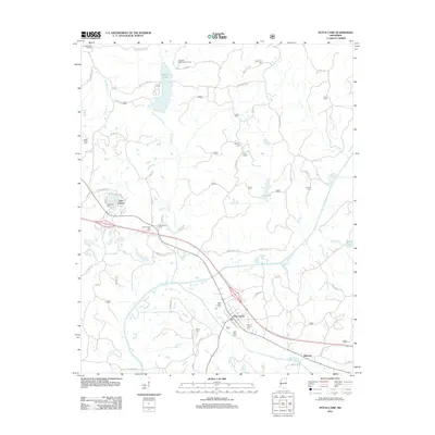
1945 Map of Potts Camp
USGS Topo · Published 1964About this map
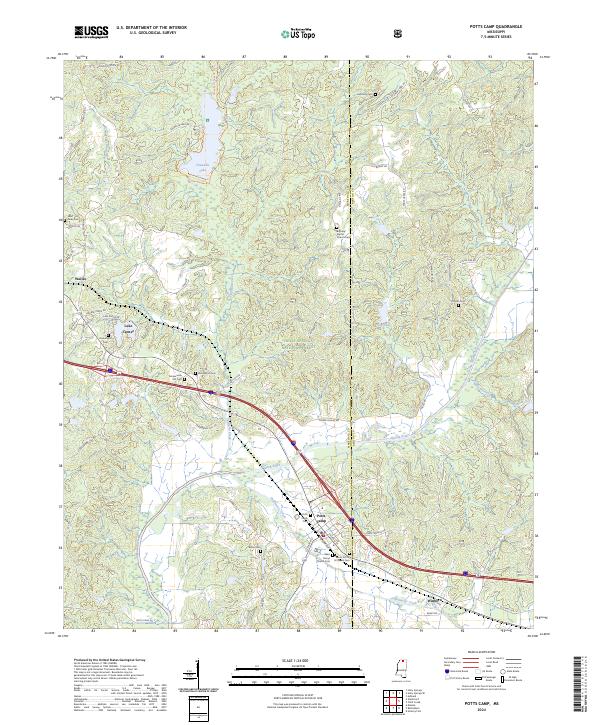
Holly Springs National Forest covers much of this North Mississippi landscape, where the St Louis-San Francisco RR and U.S. Highway No 78 serve as the primary transit corridors through Potts Camp and Winborn. The map reveals a deeply established rural social fabric, evidenced by the high density of country churches and schools like Beverly Chapel Ch, Oak Hill Sch, and Bethlehem Sch. Along the southern border, the Little Tallahatchie River and the engineered Tallahatchie Canal define the lowland drainage, leading into the northern reaches of the Sardis Reservoir. This mid-century survey documents the transition of the region's economy, showing the Winborn Lookout Tower standing watch over the timberlands while small agricultural centers like Waterford and Bethlehem remain focal points for local families.
Find a feature on this map
65 named features on this map. Tap any name to fly to it.
Don’t see what you’re looking for? This feature index may not catch every label — zoom into the map to look around manually.
Map Details
Editions of this 1945 Potts Camp Map
This is the sole edition of this map. No revisions or reprints were ever made.
Historical Maps of Holly Springs Through Time
9 maps found
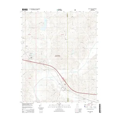
1944 Potts Camp
Marshall County, MS
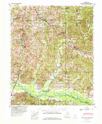
1945 Potts Camp
Marshall County, MS
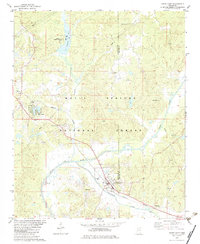
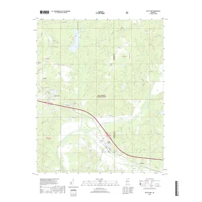
1982 Potts Camp
Marshall County, MS
2000 Potts Camp
Marshall County, MS
2012 Potts Camp
Marshall County, MS
2015 Potts Camp
Marshall County, MS
2018 Potts Camp
Marshall County, MS
2021 Potts Camp
Marshall County, MS
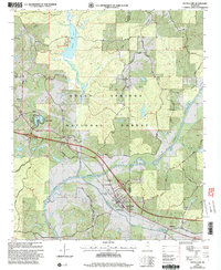
2024 Potts Camp
Marshall County, MS