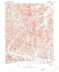
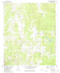
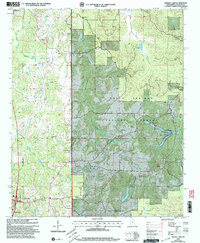
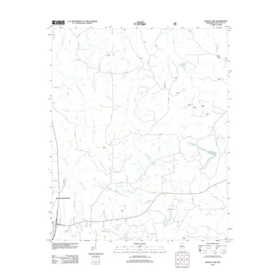
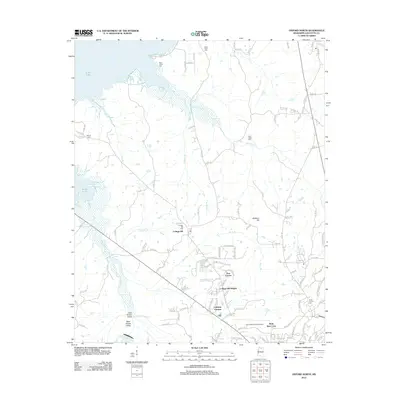
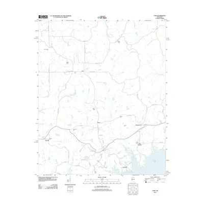
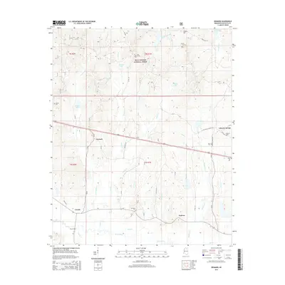
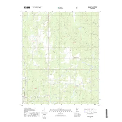
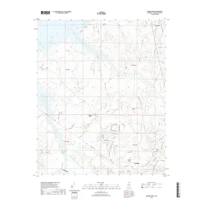
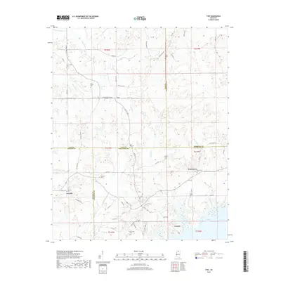
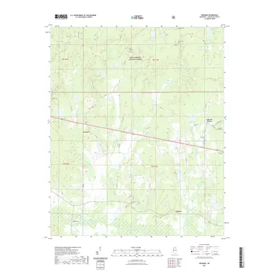
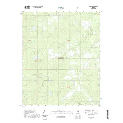
1942 Map of Denmark
USGS Topo · Published 1973About this map
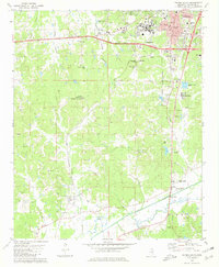
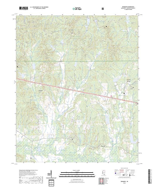
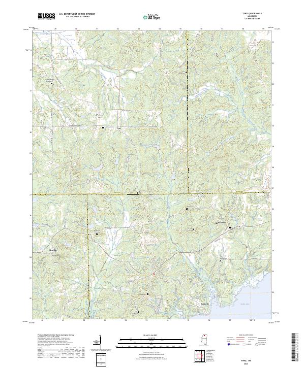
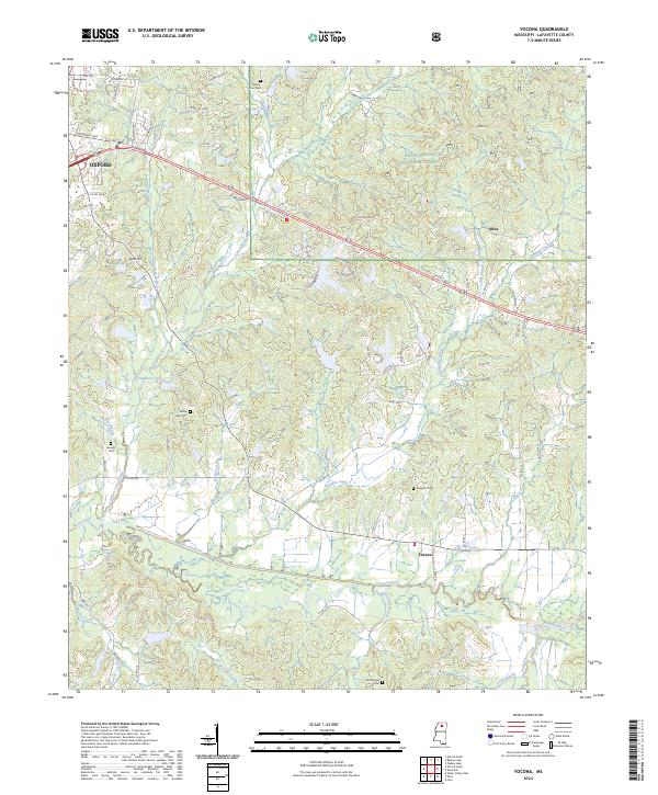
The Holly Springs National Forest covers much of this landscape in Lafayette and Marshall counties, defined by a dense network of creek systems flowing toward the Yocona River and the Tallahatchie R. In the early 1940s, the rural community of Denmark served as a local hub, supported by the nearby Denmark Sch and the Denmark Fire Tower. The area is notably dense with small country schools and churches, including the New York Sch, Philadelphia Sch, and Mt Zion Ch, indicating a distributed agricultural society before significant mid-century consolidation.
Find a feature on this map
76 named features on this map. Tap any name to fly to it.
Don’t see what you’re looking for? This feature index may not catch every label — zoom into the map to look around manually.
Map Details
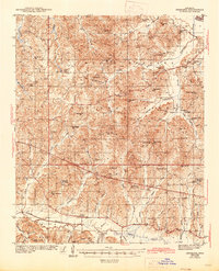
Editions of this 1942 Denmark Map
This is the sole edition of this map. No revisions or reprints were ever made.
Historical Maps of Oxford Through Time
66 maps found
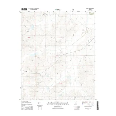
1942 Denmark
Lafayette County, MS
1943 Denmark
Lafayette County, MS
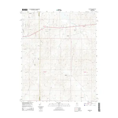
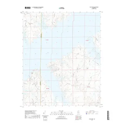
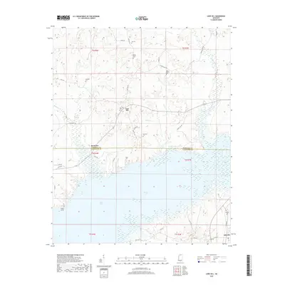
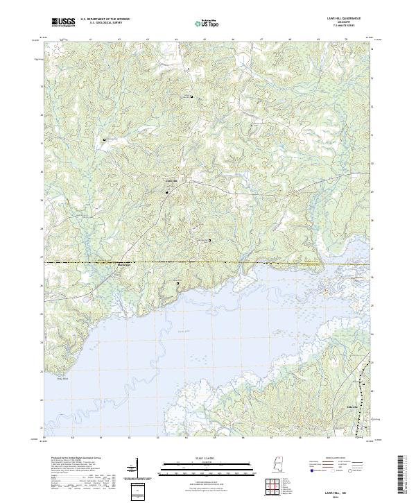
1971 Laws Hill
Lafayette County, MS
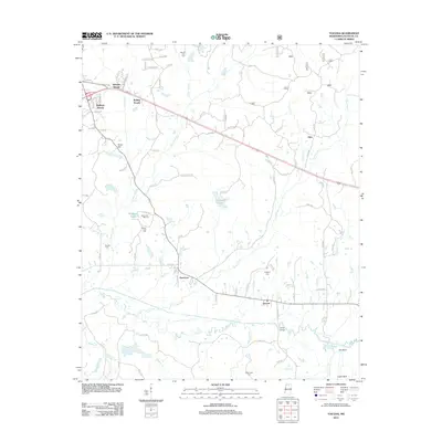
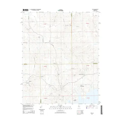
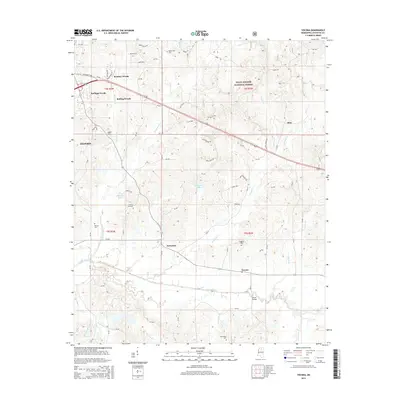
1971 Tyro
Lafayette County, MS
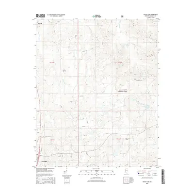
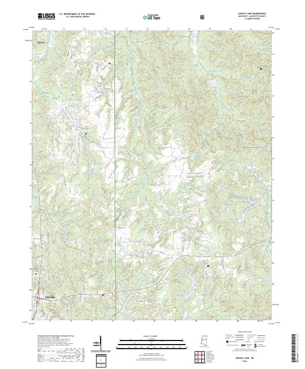
1980 Bagley Lake
Lafayette County, MS
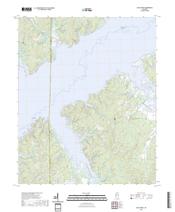
1980 Coles Point
Lafayette County, MS
1980 Denmark
Lafayette County, MS
1980 Oxford North
Lafayette County, MS
1980 Oxford South
Lafayette County, MS
1980 Puskus Lake
Lafayette County, MS
1980 Splinter
Lafayette County, MS
1980 Yocona
Lafayette County, MS
2000 Bagley Lake
Lafayette County, MS
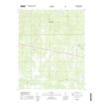
2000 Denmark
Lafayette County, MS
2000 Puskus Lake
Lafayette County, MS
2000 Yocona
Lafayette County, MS
2012 Bagley Lake
Lafayette County, MS
2012 Coles Point
Lafayette County, MS
2012 Denmark
Lafayette County, MS
2012 Laws Hill
Lafayette County, MS
2012 Oxford North
Lafayette County, MS
2012 Oxford South
Lafayette County, MS
2012 Puskus Lake
Lafayette County, MS
2012 Splinter
Lafayette County, MS
2012 Tyro
Lafayette County, MS
2012 Yocona
Lafayette County, MS
2015 Bagley Lake
Lafayette County, MS
2015 Coles Point
Lafayette County, MS
2015 Denmark
Lafayette County, MS
2015 Laws Hill
Lafayette County, MS
2015 Oxford North
Lafayette County, MS
2015 Oxford South
Lafayette County, MS
2015 Puskus Lake
Lafayette County, MS
2015 Splinter
Lafayette County, MS
2015 Tyro
Lafayette County, MS
2015 Yocona
Lafayette County, MS
2018 Bagley Lake
Lafayette County, MS
2018 Coles Point
Lafayette County, MS
2018 Denmark
Lafayette County, MS
2018 Laws Hill
Lafayette County, MS
2018 Oxford North
Lafayette County, MS
2018 Oxford South
Lafayette County, MS
2018 Puskus Lake
Lafayette County, MS
2018 Splinter
Lafayette County, MS
2018 Tyro
Lafayette County, MS
2018 Yocona
Lafayette County, MS
2021 Bagley Lake
Lafayette County, MS
2021 Coles Point
Lafayette County, MS
2021 Denmark
Lafayette County, MS
2021 Laws Hill
Lafayette County, MS
2021 Oxford North
Lafayette County, MS
2021 Oxford South
Lafayette County, MS
2021 Puskus Lake
Lafayette County, MS
2021 Splinter
Lafayette County, MS
2021 Tyro
Lafayette County, MS
2021 Yocona
Lafayette County, MS
2024 Bagley Lake
Lafayette County, MS
2024 Coles Point
Lafayette County, MS
2024 Denmark
Lafayette County, MS
2024 Laws Hill
Lafayette County, MS
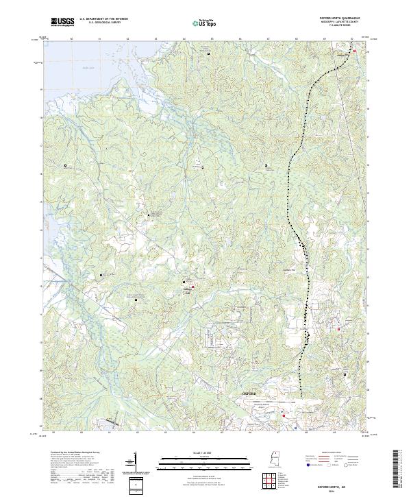
2024 Oxford North
Lafayette County, MS
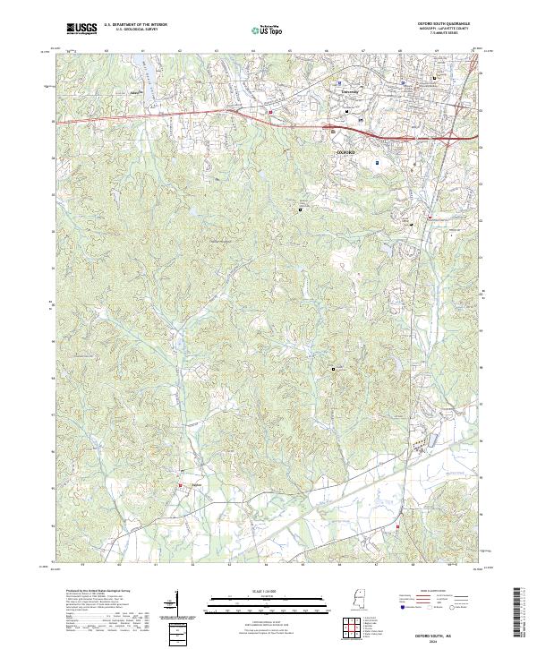
2024 Oxford South
Lafayette County, MS
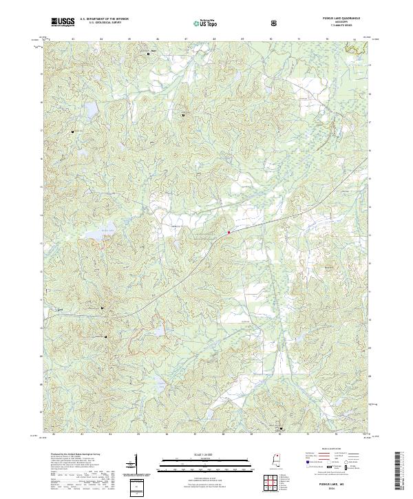
2024 Puskus Lake
Lafayette County, MS
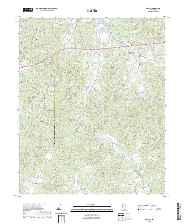
2024 Splinter
Lafayette County, MS
2024 Tyro
Lafayette County, MS
2024 Yocona
Lafayette County, MS