
1948 Map of Byhalia
USGS Topo · Published 1948About this map
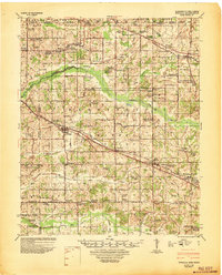
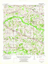
The St Louis and San Francisco railroad anchors the development of northern Mississippi in the late 1940s, connecting the major trade centers of Byhalia and Victoria. This survey, prepared under the direction of the Mississippi River Commission, reveals a landscape densely populated with rural institutions. Dozens of small community hubs such as Macedonia Ch & Cem and New Hope Ch & Sch are scattered across the terrain, serving as vital centers for family life and local genealogy. The map captures the complex drainage systems of the Coldwater River and Pigeon Roost Creek, illustrating how the agricultural economy adapted to the undulating land between the De Soto and Marshall county lines. From the northern reaches near Handy Corner to the southern settlement of Watson, the map provides an intricate look at the post-war rural road network and established land holdings before modern suburban expansion.
Find a feature on this map
114 named features on this map. Tap any name to fly to it.
Don’t see what you’re looking for? This feature index may not catch every label — zoom into the map to look around manually.
Map Details
Editions of this 1948 Byhalia Map
3 editions found
Other maps of this area

1943 · Collierville
USGS Topo · 1:62,500

1944 · Senatobia
USGS Topo · 1:62,500

1944 · Hernando
USGS Topo · 1:62,500

1944 · Tyro
USGS Topo · 1:62,500

1944 · Potts Camp
USGS Topo · 1:62,500

1945 · Potts Camp
USGS Topo · 1:62,500

1949 · Moscow
USGS Topo · 1:62,500

1953 · Holly Springs
USGS Topo · 1:62,500

1953 · Collierville
USGS Topo · 1:50,000

1956 · Blytheville
USGS Topo · 1:250,000