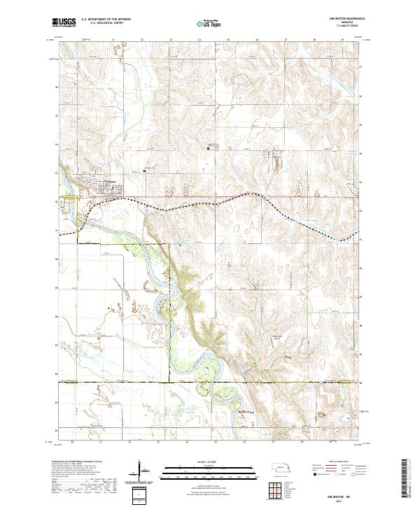
2021 Map of Arlington
USGS Topo · Published 2021About this map
Arlington serves as the primary hub of this eastern Nebraska landscape, situated near the confluence of Bell Cr and the wide valley of the Elkhorn River. The map captures a sophisticated drainage system defined by the meandering river and its tributaries, including the distinct Rawhide Creek (Old Channel) which traces an older course through the agricultural bottomlands. For local historians and genealogists, the documentation of the Arlington Cem and the Seventh Day Adventist Cem provides vital reference points for family research in Washington County. The terrain is further characterized by small-scale aviation and recreational sites like the Sibbernsen Airport and Rellers Park, while the eastern reaches are drained by the Southwest Br Big Papillion Cr, showing the transition between the Elkhorn and Papillion watersheds.
Find a feature on this map
79 named features on this map. Tap any name to fly to it.
Don’t see what you’re looking for? This feature index may not catch every label — zoom into the map to look around manually.
Map Details
Editions of this 2021 Arlington Map
This is the sole edition of this map. No revisions or reprints were ever made.
Other maps of this area

1893 · Fremont
USGS Topo · 1:125,000

1896 · Fremont
USGS Topo · 1:125,000

1955 · Fremont
USGS Topo · 1:250,000

1957 · Fremont
USGS Topo · 1:250,000

1958 · Fremont
USGS Topo · 1:250,000

1966 · Nickerson
USGS Topo · 1:24,000

1968 · Valley
USGS Topo · 1:24,000

1968 · Leshara
USGS Topo · 1:24,000

1968 · Fremont East
USGS Topo · 1:24,000

1968 · Kennard
USGS Topo · 1:24,000