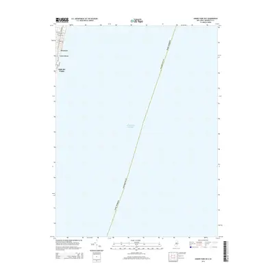
2014 Map of Asbury Park OE E
USGS Topo · Published 2014About this map
The coastal edge of Monmouth County meets the Atlantic Ocean in this 2014 survey. This portion of the Jersey Shore features the northernmost reaches of Asbury Park, including its famous Boardwalk and the residential streets of Loch Arbour and Allenhurst. The map traces the winding shoreline of Deal Lake as it reaches toward the coast, providing a clear record of the street grid and local geography just north of the city center.
Find a feature on this map
11 named features on this map. Tap any name to fly to it.
Don’t see what you’re looking for? This feature index may not catch every label — zoom into the map to look around manually.
Map Details
Editions of this 2014 Asbury Park OE E Map
This is the sole edition of this map. No revisions or reprints were ever made.
Other maps of this area

1888 · Asbury Park
USGS Topo · 1:62,500

1888 · Sandy Hook
USGS Topo · 1:62,500

1893 · Sandy Hook
USGS Topo · 1:62,500

1893 · Asbury Park
USGS Topo · 1:62,500

1901 · Sandy Hook
USGS Topo · 1:62,500

1901 · Asbury Park
USGS Topo · 1:62,500

1902 · Navesink
USGS Topo · 1:125,000

1918 · Sandy Hook
USGS Topo · 1:62,500

1919 · Asbury Park
USGS Topo · 1:62,500

1944 · Newark
USGS Topo · 1:250,000