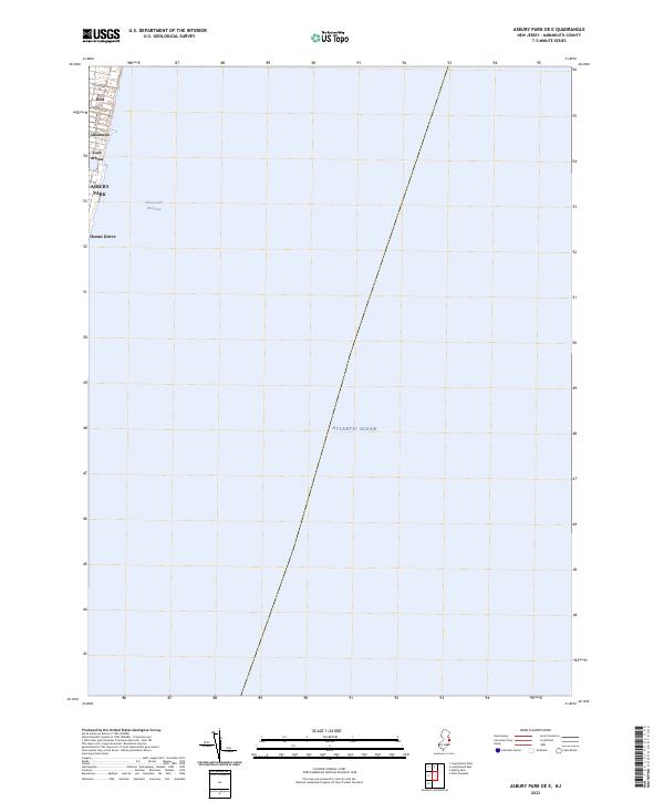
2023 Map of Asbury Park OE E
USGS Topo · Published 2023About this map
The Jersey Shore communities of Asbury Park and Ocean Grove occupy the slender western edge of this coastal survey, where the Atlantic urban landscape meets the sea. This map captures the modern layout of these historic settlements as they existed in 2023, featuring the compact residential street grids of Deal, Allenhurst, and Loch Arbour. To the east, the vast Atlantic Ocean dominates the sheet, showing the maritime approach to the Monmouth County coastline. Coastal navigation is represented by the Intracoastal Waterway running parallel to the shore, while local transit is defined by thoroughfares like Ocean Ave and Roseld Ave. This rendering serves as a precise record of the shoreline's built environment, illustrating the high-density development and public beachfronts of one of New Jersey's most established seaside reaches.
Find a feature on this map
10 named features on this map. Tap any name to fly to it.
Don’t see what you’re looking for? This feature index may not catch every label — zoom into the map to look around manually.
Map Details
Editions of this 2023 Asbury Park OE E Map
This is the sole edition of this map. No revisions or reprints were ever made.
Other maps of this area

1888 · Asbury Park
USGS Topo · 1:62,500

1888 · Sandy Hook
USGS Topo · 1:62,500

1893 · Sandy Hook
USGS Topo · 1:62,500

1893 · Asbury Park
USGS Topo · 1:62,500

1901 · Sandy Hook
USGS Topo · 1:62,500

1901 · Asbury Park
USGS Topo · 1:62,500

1902 · Navesink
USGS Topo · 1:125,000

1918 · Sandy Hook
USGS Topo · 1:62,500

1919 · Asbury Park
USGS Topo · 1:62,500

1944 · Newark
USGS Topo · 1:250,000