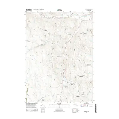
2015 Map of Ashfield
USGS Topo · Published 2015About this map
Ashfield and Buckland occupy a high-relief landscape defined by the winding South River and its numerous tributaries. Settled within these upland valleys are distinct hamlets such as Baptist Corner, South Ashfield, and Buckland Four Corners, each connected by a network of winding local roads like Baptist Corner Rd and Hog Hollow Rd. The terrain is punctuated by significant peaks including Mary Lyon Hill, Mt Owen, and Seventy Six Hill, reflecting the region's complex topography.
Find a feature on this map
118 named features on this map. Tap any name to fly to it.
Don’t see what you’re looking for? This feature index may not catch every label — zoom into the map to look around manually.
Map Details
Editions of this 2015 Ashfield Map
This is the sole edition of this map. No revisions or reprints were ever made.
Other maps of this area

1885 · Northampton
USGS Topo · 1:62,500

1886 · Hawley
USGS Topo · 1:62,500

1886 · Chesterfield
USGS Topo · 1:62,500

1886 · Northampton
USGS Topo · 1:62,500

1888 · Chesterfield
USGS Topo · 1:62,500

1890 · Hawley
USGS Topo · 1:62,500

1890 · Greenfield
USGS Topo · 1:62,500

1891 · Northampton
USGS Topo · 1:62,500

1893 · Northampton
USGS Topo · 1:62,500

1893 · Chesterfield
USGS Topo · 1:62,500