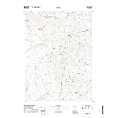
2021 Map of Ashfield
USGS Topo · Published 2021About this map
Buckland and the neighboring hills of Franklin County are defined by a network of brooks and steep ridges where the Deerfield River and South River carve through the upland landscape. This modern survey details the persistent rural structure of the region, from the cluster of Ashfield and its historic cemeteries like Ashfield Plain Cem to the outlying settlements of Spruce Corner and Baptist Corner. Local landmarks such as Mary Lyon Hill and Goodnow Hill overlook a territory dotted with family-named burial grounds and water features like Hillman Ice Pond and the Upper Reservoir. The map tracks the passage of the Mohawk Trl along the northern edge, a route that mirrors the earlier industrial and agricultural pathways of the Deerfield River valley while connecting smaller hamlets like East Charlemont and Dodge Corner.
Find a feature on this map
119 named features on this map. Tap any name to fly to it.
Don’t see what you’re looking for? This feature index may not catch every label — zoom into the map to look around manually.
Map Details
Editions of this 2021 Ashfield Map
This is the sole edition of this map. No revisions or reprints were ever made.
Other maps of this area

1885 · Northampton
USGS Topo · 1:62,500

1886 · Hawley
USGS Topo · 1:62,500

1886 · Chesterfield
USGS Topo · 1:62,500

1886 · Northampton
USGS Topo · 1:62,500

1888 · Chesterfield
USGS Topo · 1:62,500

1890 · Hawley
USGS Topo · 1:62,500

1890 · Greenfield
USGS Topo · 1:62,500

1891 · Northampton
USGS Topo · 1:62,500

1893 · Northampton
USGS Topo · 1:62,500

1893 · Chesterfield
USGS Topo · 1:62,500