Loading...
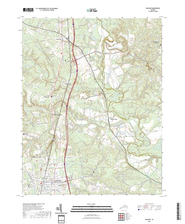
Loading map...2022 Map of Ashland
USGS Topo · Published 2022About this map
Ashland serves as the focal point of this Hanover County landscape, where the campus of Randolph Macon College anchors the southern portion of the sheet. The town's grid of streets, including England St and College Ave, transitions northward into a more rural pattern of crossroads and river crossings. The terrain is defined by the winding paths of the North Anna River and South Anna River, which dictate the local topography alongside Bear Island.
Find a feature on this map
134 named features on this map. Tap any name to fly to it.
Don’t see what you’re looking for? This feature index may not catch every label — zoom into the map to look around manually.
Map Details
Date Portrayed2022
Date Published2022
PublisherU.S. Geological Survey
Map TypeTopographic
Scale1:24000
Physical Dimensions24 x 29 inches
Editions of this 2022 Ashland Map
This is the sole edition of this map. No revisions or reprints were ever made.
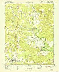
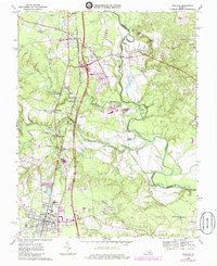
Historical Maps of Elletts Crossing Through Time
3 maps found
Featured Locations
Source Details
SourceU.S. Geological Survey
CopyrightPublic Domain