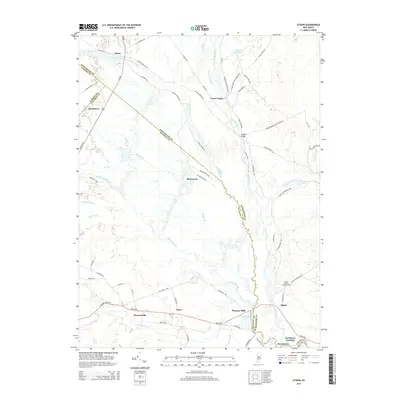
2014 Map of Atsion
USGS Topo · Published 2014About this map
Atsion and the surrounding pine forests of southern New Jersey are defined by the convergence of several major waterways, including the Mullica River, Batsto River, and the Nescochague Creek. This 2014 survey documents the modern road network laid over a landscape steeped in early industrial history, where locations like Lower Forge and Quaker Bridge suggest the iron-working past of the region. The map tracks the winding course of the Sleeper Branch as it flows south toward Nescochague Lake and the settlement of Pleasant Mills.
Find a feature on this map
74 named features on this map. Tap any name to fly to it.
Don’t see what you’re looking for? This feature index may not catch every label — zoom into the map to look around manually.
Map Details
Editions of this 2014 Atsion Map
This is the sole edition of this map. No revisions or reprints were ever made.
Other maps of this area

1888 · Pemberton
USGS Topo · 1:62,500

1888 · Mount Holly
USGS Topo · 1:62,500

1890 · Hammonton
USGS Topo · 1:62,500

1890 · Mullica
USGS Topo · 1:62,500

1894 · Hammonton
USGS Topo · 1:62,500

1894 · Pemberton
USGS Topo · 1:62,500

1894 · Mount Holly
USGS Topo · 1:62,500

1894 · Mullica
USGS Topo · 1:62,500

1898 · Pemberton
USGS Topo · 1:62,500

1898 · Mount Holly
USGS Topo · 1:62,500