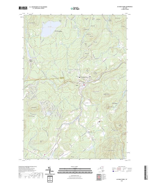
2023 Map of Au Sable Forks
USGS Topo · Published 2023About this map
Au Sable Forks serves as the focal point of this Adirondack region, situated at the confluence where the West Branch Ausable River meets the main stem. This 2023 survey illustrates a landscape defined by sharp elevation changes and high mountain peaks, including Ragged Mountain and Haystack Mountain to the east, and Fern Lake Mountain in the northwest. The settlement of Black Brook is tucked away near Black Brook Pond, while the area around North Jay remains largely defined by its proximity to the East Branch Ausable River.
Find a feature on this map
123 named features on this map. Tap any name to fly to it.
Don’t see what you’re looking for? This feature index may not catch every label — zoom into the map to look around manually.
Map Details
Editions of this 2023 Au Sable Forks Map
This is the sole edition of this map. No revisions or reprints were ever made.
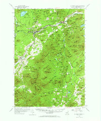
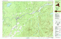
Historical Maps of Au Sable Forks Through Time
3 maps found