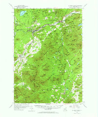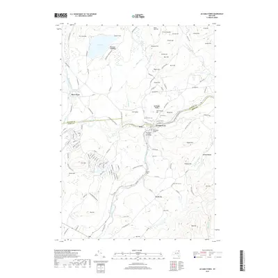
1978 Map of Au Sable Forks
USGS Topo · Published 1990About this map
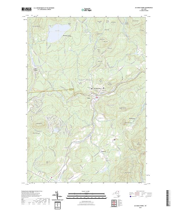
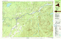
Au Sable Forks sits at the confluence of the West Branch and East Branch of the Ausable River, serving as a central hub within the northern reaches of the Adirondack Park. In the late 1970s, the area's industrial history is evidenced by several Quarries, a Quarry, and numerous Sandpits dotting the landscape near Black Brook and Rogers. Transportation is defined by the Delaware and Hudson River rail line following the river valley through Clintonville. Local landmarks such as Holy Name Ch and Fairview Cem provide points of interest for genealogists, while the surrounding peaks, including Ragged Mountain and Palmer Hill, frame the valley's settlement patterns. Farther north, Fern Lake and Stevens Landing mark the transition toward the more wooded heights of Fern Lake Mtn.
Find a feature on this map
110 named features on this map. Tap any name to fly to it.
Don’t see what you’re looking for? This feature index may not catch every label — zoom into the map to look around manually.
Map Details
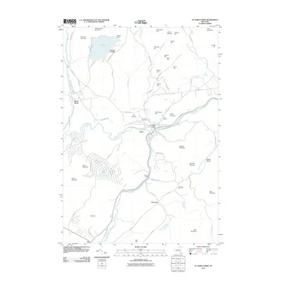
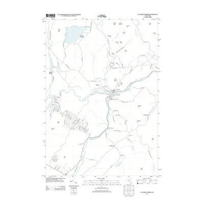
Editions of this 1978 Au Sable Forks Map
3 editions found
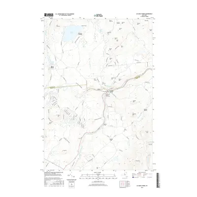
Historical Maps of AuSable Through Time
7 maps found