
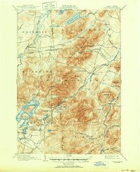
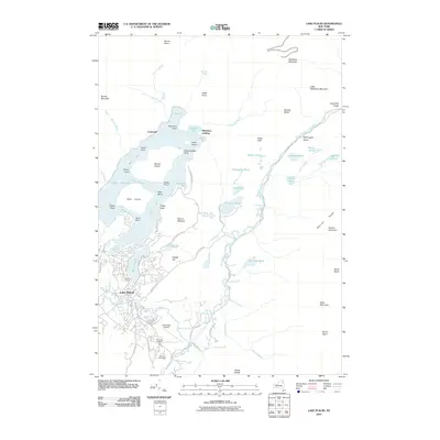
1896 Map of Lake Placid
USGS Topo · Published 1896About this map
John Browns Grave stands as a significant historical landmark in the town of North Elba, anchoring this late-19th-century survey of the High Peaks region. The landscape is dominated by the massive profile of Mt. Whiteface and the complex shoreline of Lake Placid, featuring Moose Id. and Buck Id.. The map documents the early infrastructure of the Adirondacks, showing the industrial presence of East Kilns and West Kilns near the base of Wilmington Mountain.
Find a feature on this map
83 named features on this map. Tap any name to fly to it.
Don’t see what you’re looking for? This feature index may not catch every label — zoom into the map to look around manually.
Map Details
Editions of this 1896 Lake Placid Map
This is the sole edition of this map. No revisions or reprints were ever made.
Historical Maps of North Elba Through Time
10 maps found
1896 Lake Placid
Essex County, NY
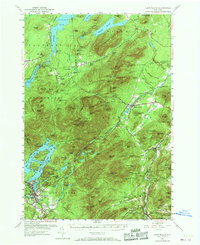
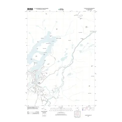
1898 Lake Placid
Essex County, NY
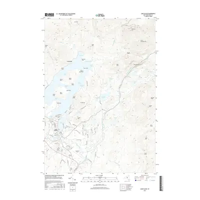
1953 Lake Placid
Essex County, NY
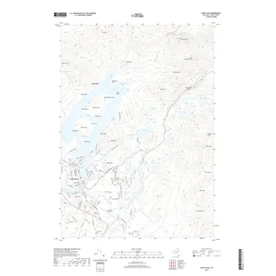
1979 Lake Placid
Essex County, NY
1999 Lake Placid
Essex County, NY
2010 Lake Placid
Essex County, NY
2013 Lake Placid
Essex County, NY
2016 Lake Placid
Essex County, NY
2019 Lake Placid
Essex County, NY

2023 Lake Placid
Essex County, NY