
1895 Map of Willsboro
USGS Topo · Published 1895About this map
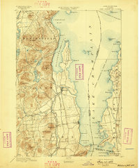
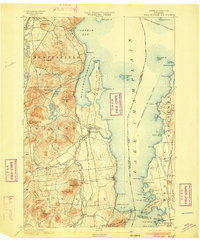
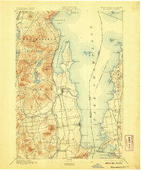
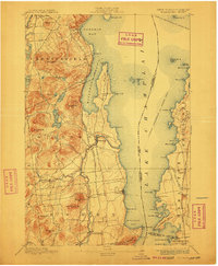
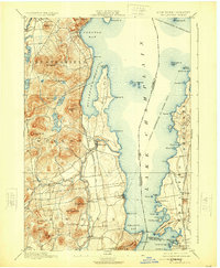
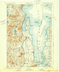
The Lake Champlain shoreline serves as the focal point for this late 19th-century survey, documenting the maritime and rail infrastructure that connected New York and Vermont. The Champlain Transportation Co. Steamer Route transits the open water, while the McNeil Ferry provides a direct crossing between Essex and Charlotte. On the western shore, the Delaware and Hudson Canal Co. R. R. follows the coast through Willsboro, supporting local industry near the mouth of the Bouquet River. Inland, the terrain rises sharply toward summits like Mt. Bigelow and Rattlesnake, interspersed with smaller bodies of water such as Augur Lake and Long Pond. The map captures the region when small rail-side settlements like Whallonsburg and Essex Sta. were vital transit points, and the rugged Adirondack foothills met the organized agrarian landscapes of the Champlain Valley.
Find a feature on this map
78 named features on this map. Tap any name to fly to it.
Don’t see what you’re looking for? This feature index may not catch every label — zoom into the map to look around manually.
Map Details
Editions of this 1895 Willsboro Map
7 editions found
Other maps of this area

1894 · Elizabethtown
USGS Topo · 1:62,500

1894 · Port Henry
USGS Topo · 1:62,500

1894 · Plattsburg
USGS Topo · 1:62,500

1895 · Elizabethtown
USGS Topo · 1:62,500

1895 · Ausable
USGS Topo · 1:62,500

1898 · Port Henry
USGS Topo · 1:62,500

1901 · Elizabethtown
USGS Topo · 1:62,500

1903 · Ausable
USGS Topo · 1:62,500

1903 · Middlebury
USGS Topo · 1:62,500

1905 · Middlebury
USGS Topo · 1:62,500