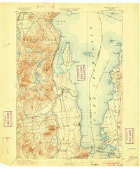
1895 Map of Willsboro
USGS Topo · Published 1902About this map
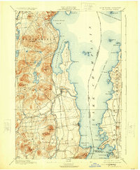
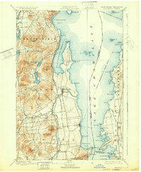
The Lake Champlain shoreline in the late 19th century was defined by a critical network of steamer routes and rail lines connecting the Adirondack foothills to Vermont. Steamers of the Champlain Transportation Co. Steamer Route navigated between distinctive landmarks like Rock Dunder and the Four Brothers islands, while the McNeil Ferry provided a vital cross-lake link near Charlotte. Inland, the terrain is dominated by the steep rises of Mt. Bigelow and Rattlesnake Mt., where several small lakes including Augur Lake and Long Pond are situated.
Find a feature on this map
76 named features on this map. Tap any name to fly to it.
Don’t see what you’re looking for? This feature index may not catch every label — zoom into the map to look around manually.
Map Details
Editions of this 1895 Willsboro Map
7 editions found
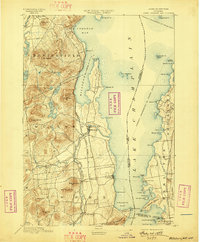
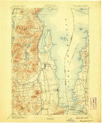
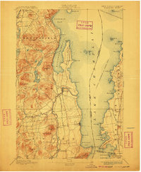
Other maps of this area

1894 · Elizabethtown
USGS Topo · 1:62,500

1894 · Port Henry
USGS Topo · 1:62,500

1894 · Plattsburg
USGS Topo · 1:62,500

1895 · Willsboro
USGS Topo · 1:62,500

1895 · Elizabethtown
USGS Topo · 1:62,500

1895 · Ausable
USGS Topo · 1:62,500

1898 · Port Henry
USGS Topo · 1:62,500

1901 · Elizabethtown
USGS Topo · 1:62,500

1903 · Ausable
USGS Topo · 1:62,500

1903 · Middlebury
USGS Topo · 1:62,500