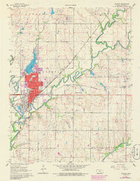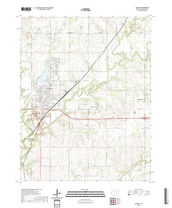
2022 Map of Augusta
USGS Topo · Published 2022About this map
The confluence of the Walnut River and the Whitewater River defines the landscape surrounding Augusta, where water management and aviation history meet. This Kansas prairie region is shaped by significant drainage systems including Elm Creek and Turkey Creek, which feed into the larger river basins. The settlement patterns are anchored by established burial grounds like Elmwood Cem and Calvary Cem, providing valuable touchpoints for genealogical research. To the east, the small community of Haverhill sits near the Airpark Estates Airport, reflecting the region's connection to flight and transportation. Modern suburban expansion is evident in the residential developments north of Augusta Lake, while outlying areas like Heape Field maintain the open character of Butler County's agricultural roots. The map also traces the Little Walnut River as it winds through the southeastern sections, highlighting the riparian corridors that have influenced land use in this part of the state.
Find a feature on this map
97 named features on this map. Tap any name to fly to it.
Don’t see what you’re looking for? This feature index may not catch every label — zoom into the map to look around manually.
Map Details
Editions of this 2022 Augusta Map
This is the sole edition of this map. No revisions or reprints were ever made.