2022 Map of Augusta Springs
USGS Topo · Published 2022About this map
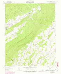
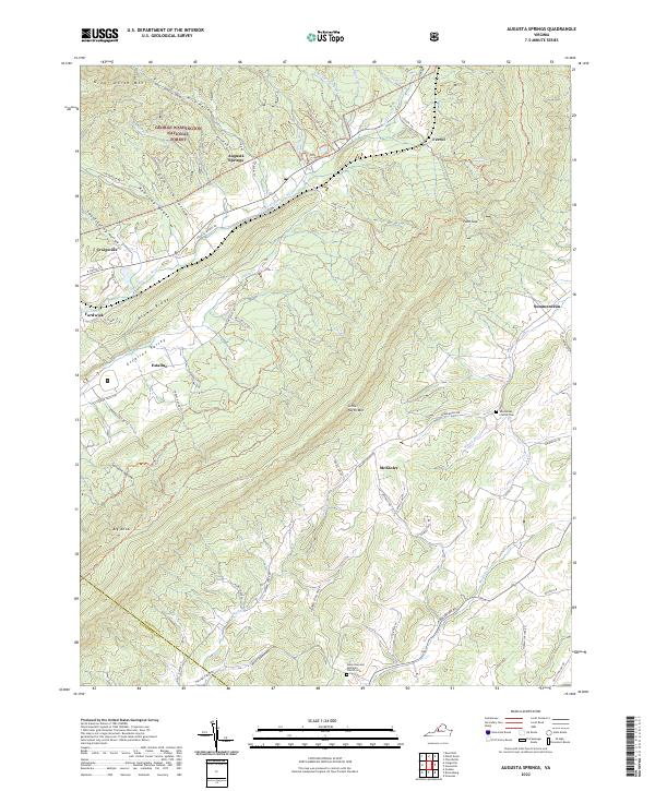
The Little Calfpasture River cuts a prominent valley through the western slopes of the Blue Ridge, anchoring a series of small industrial and residential communities in Augusta County. Small settlements like Augusta Springs, Craigsville, and Fordwick line the rail and road corridors that follow the water gaps, while the surrounding landscape is dominated by the ridges of Great North Mtn and Little North Mtn. Much of the western terrain is protected within the George Washington National Forest, where deep drainage features like Gum Lick Hollow and Sweet Spring Hollow illustrate the complex topography of the region.
Find a feature on this map
68 named features on this map. Tap any name to fly to it.
Don’t see what you’re looking for? This feature index may not catch every label — zoom into the map to look around manually.
Map Details
Editions of this 2022 Augusta Springs Map
This is the sole edition of this map. No revisions or reprints were ever made.