2022 Map of Aulander
USGS Topo · Published 2022About this map
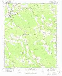
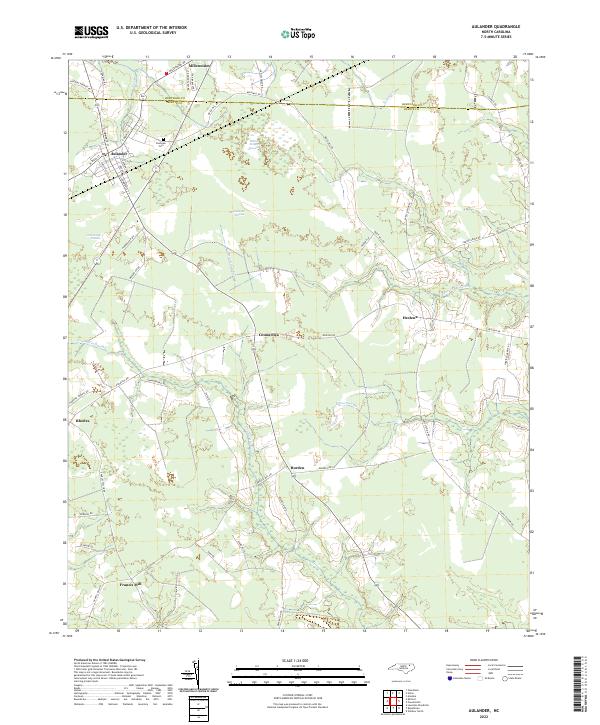
The town of Aulander and the surrounding agricultural lands of Bertie and Hertford Counties define this coastal plain landscape. Characterized by expansive wetlands and pocosin formations, the area shows a distinct pattern of settlement where small communities like Millennium, Connarita, and Hexlena are situated on the higher ground between drainage systems. These wetlands, including Hearts Delight Pocosin and Beaverdam Pocosin, historically dictated the placement of roads and homesteads, creating the network of rural lanes seen today.
Find a feature on this map
53 named features on this map. Tap any name to fly to it.
Don’t see what you’re looking for? This feature index may not catch every label — zoom into the map to look around manually.
Map Details
Editions of this 2022 Aulander Map
This is the sole edition of this map. No revisions or reprints were ever made.