2021 Map of Aurora
USGS Topo · Published 2021About this map
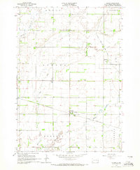
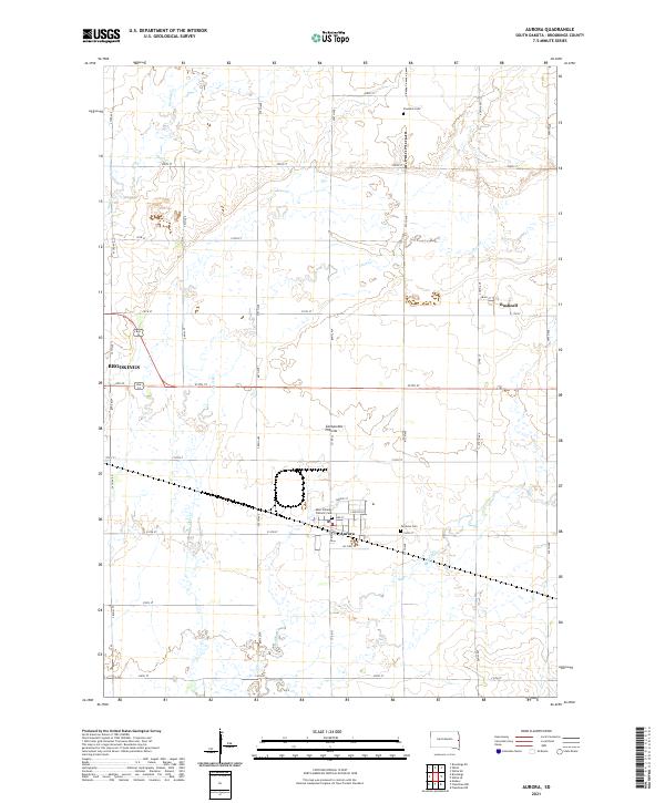
The town of Aurora sits at the heart of this Brookings County landscape, established upon the distinct glacial upland known as the Coteau des Prairies. The survey illustrates a well-defined agrarian grid typical of eastern South Dakota, where the eastern edge of Brookings and the smaller settlement of Bushnell are linked by a network of sectional roads like 212th St and Co Rd 23. Water drainage follows a southeastern trend through Sixmile Cr, Deer Cr, and Medary Cr, carving subtle relief into the prairie.
Find a feature on this map
47 named features on this map. Tap any name to fly to it.
Don’t see what you’re looking for? This feature index may not catch every label — zoom into the map to look around manually.
Map Details
Editions of this 2021 Aurora Map
This is the sole edition of this map. No revisions or reprints were ever made.