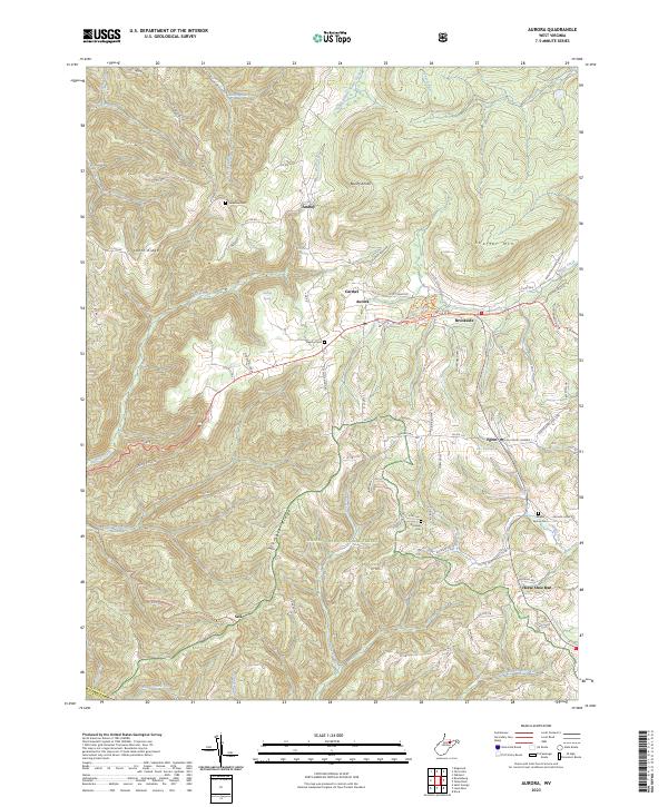
2023 Map of Aurora
USGS Topo · Published 2023About this map
Aurora and Eglon anchor this survey of southeastern Preston County, where the high ridges of the Alleghenies meet the Maryland border. The settlement pattern follows the corridor of US Rte 50, passing through Carmel and Brookside as it traverses the divide between the South Branch Snowy Creek and the headwaters of Wolf Creek. Local genealogy and community life are well-documented through landmarks like the Grange Hall, Belleview Cem, and Beachy Cem. The landscape is dominated by steep topography, with Lantz Ridge and Stemple Ridge rising above deep hollows where Old Indian Spring and Boiling Spring emerge. To the south, the terrain becomes increasingly complex as it enters the Monongahela National Forest near Horse Shoe Run, revealing a remote network of trails including the Cathedral Tr and Wood Thrush Tr.
Find a feature on this map
76 named features on this map. Tap any name to fly to it.
Don’t see what you’re looking for? This feature index may not catch every label — zoom into the map to look around manually.
Map Details
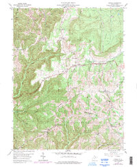
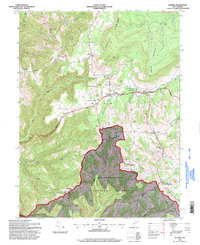
Editions of this 2023 Aurora Map
This is the sole edition of this map. No revisions or reprints were ever made.