Loading...
Loading map...2022 Map of Austinville
USGS Topo · Published 2022About this map
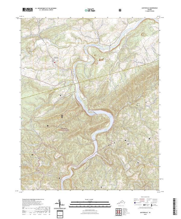
Cripple Creek winds through the northern landscape of this Wythe and Carroll County borderland, eventually joining the New River as it snakes toward the Jefferson National Forest. This modern survey illustrates a region defined by its narrow river valleys and high ridges like Cha Cha Ridge and Falcon Ridge, where the infrastructure of the New River Valley Trail State Park now follows the historical paths carved by water and industry.
Find a feature on this map
118 named features on this map. Tap any name to fly to it.
Don’t see what you’re looking for? This feature index may not catch every label — zoom into the map to look around manually.
Map Details
Date Portrayed2022
Date Published2022
PublisherU.S. Geological Survey
Map TypeTopographic
Scale1:24000
Physical Dimensions24 x 29 inches
Editions of this 2022 Austinville Map
This is the sole edition of this map. No revisions or reprints were ever made.
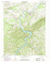
Historical Maps of Oak Grove Through Time
Featured Locations
Source Details
SourceU.S. Geological Survey
CopyrightPublic Domain