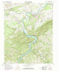
1965 Map of Austinville
USGS Topo · Published 1985About this map
The New River carves a winding path through this industrial and rural landscape on the border of Wythe and Carroll Counties. Lead and zinc mining history is etched into the terrain, evidenced by the Flatwood Shaft, Ivanhoe Shaft, and Van Mater Shaft scattered near Austinville and Ivanhoe. These operations, supported by a Tailings Pond and several Quarries, define the local economy of the mid-1960s alongside the Norfolk and Western railroad which follows the river's bend.
Find a feature on this map
68 named features on this map. Tap any name to fly to it.
Don’t see what you’re looking for? This feature index may not catch every label — zoom into the map to look around manually.
Map Details
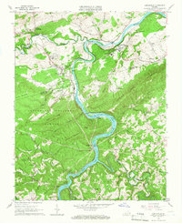
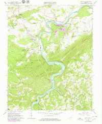
Editions of this 1965 Austinville Map
Other maps of this area

1889 · Hillsville
USGS Topo · 1:125,000

1889 · Wytheville
USGS Topo · 1:125,000

1892 · Hillsville
USGS Topo · 1:125,000

1892 · Wytheville
USGS Topo · 1:125,000

1896 · Hillsville
USGS Topo · 1:125,000

1930 · Speedwell
USGS Topo · 1:62,500

1930 · Independence
USGS Topo · 1:48,000

1930 · Max Meadows
USGS Topo · 1:62,500

1931 · Galax
USGS Topo · 1:48,000

1933 · Independence
USGS Topo · 1:62,500