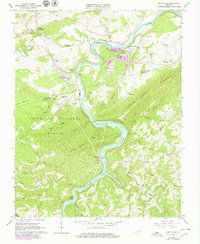
1965 Map of Austinville
USGS Topo · Published 1979About this map
Mining and industrial operations along the New River dominate this landscape in the mid-1960s, particularly around Austinville and Ivanhoe. The area’s mineral history is evident in the numerous quarries and deep mining infrastructure like the Flatwood Shaft and Van Mater Shaft. This industrial activity is tightly integrated with the Norfolk and Western railroad, which follows the river's winding course through the valley.
Find a feature on this map
69 named features on this map. Tap any name to fly to it.
Don’t see what you’re looking for? This feature index may not catch every label — zoom into the map to look around manually.
Map Details
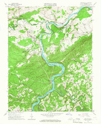
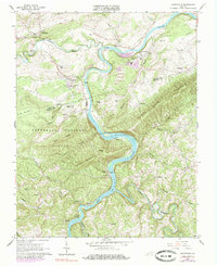
Editions of this 1965 Austinville Map
Other maps of this area

1889 · Hillsville
USGS Topo · 1:125,000

1889 · Wytheville
USGS Topo · 1:125,000

1892 · Hillsville
USGS Topo · 1:125,000

1892 · Wytheville
USGS Topo · 1:125,000

1896 · Hillsville
USGS Topo · 1:125,000

1930 · Speedwell
USGS Topo · 1:62,500

1930 · Independence
USGS Topo · 1:48,000

1930 · Max Meadows
USGS Topo · 1:62,500

1931 · Galax
USGS Topo · 1:48,000

1933 · Independence
USGS Topo · 1:62,500