
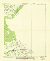
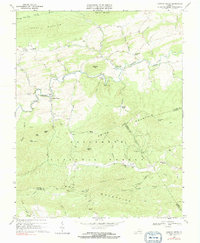
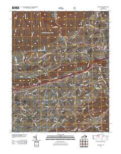
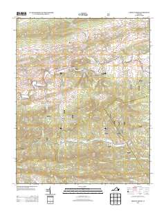
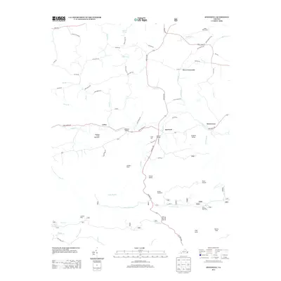
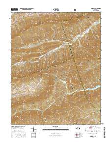
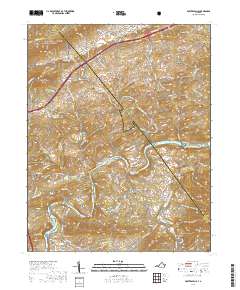
1930 Map of Speedwell
USGS Topo · Published 1930About this map
Wytheville serves as the primary hub of this Southwest Virginia landscape, situated between the ridges of Little Walker Mtn and the prominent heights of Lick Mountain. The late 1920s infrastructure is defined by the Norfolk and Western RR and the Lee Highway, which facilitate movement through the Great Valley. To the south, the terrain becomes increasingly complex within the Unaka National Forest, where the Appalachian Trail winds through high-altitude landmarks like Horse Heaven and Porter Mtn. Numerous rural institutions, such as Cedar Hill Sch and St Johns Ch, suggest a well-established network of small agricultural communities. Along the valley floor, Cripple Creek flows past industrial and transit points like Government Siding and the settlement of Speedwell, illustrating a mountain economy balanced between timber, transit, and small-scale farming.
Find a feature on this map
79 named features on this map. Tap any name to fly to it.
Don’t see what you’re looking for? This feature index may not catch every label — zoom into the map to look around manually.
Map Details
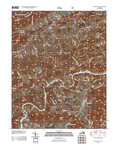
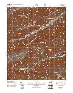
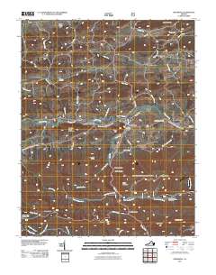
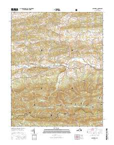
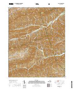
Editions of this 1930 Speedwell Map
This is the sole edition of this map. No revisions or reprints were ever made.
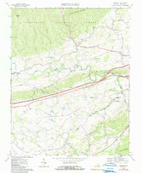
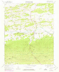
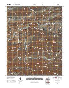
Historical Maps of Wytheville Through Time
33 maps found
1930 Speedwell
Wythe County, VA
1935 Groseclose
Wythe County, VA
1939 Speedwell
Wythe County, VA
1965 Fosters Falls
Wythe County, VA
1965 Long Spur
Wythe County, VA
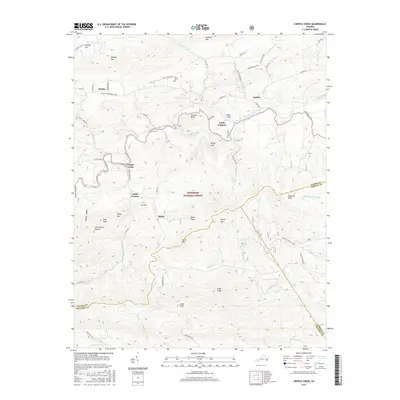
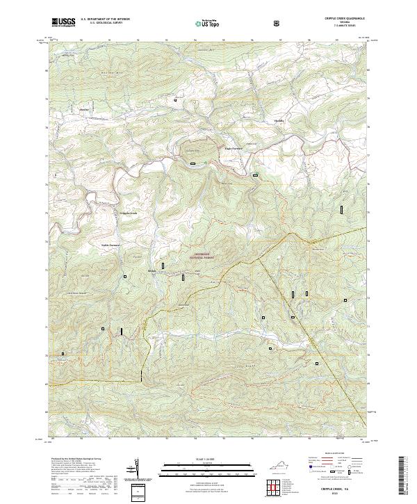
1968 Cripple Creek
Wythe County, VA
1968 Crockett
Wythe County, VA
1968 Speedwell
Wythe County, VA
2011 Cripple Creek
Wythe County, VA
2011 Crockett
Wythe County, VA
2011 Fosters Falls
Wythe County, VA
2011 Long Spur
Wythe County, VA
2011 Speedwell
Wythe County, VA
2013 Cripple Creek
Wythe County, VA
2013 Crockett
Wythe County, VA
2013 Fosters Falls
Wythe County, VA
2013 Long Spur
Wythe County, VA
2013 Speedwell
Wythe County, VA
2016 Cripple Creek
Wythe County, VA
2016 Crockett
Wythe County, VA
2016 Fosters Falls
Wythe County, VA
2016 Long Spur
Wythe County, VA
2016 Speedwell
Wythe County, VA
2019 Cripple Creek
Wythe County, VA
2019 Crockett
Wythe County, VA
2019 Fosters Falls
Wythe County, VA
2019 Long Spur
Wythe County, VA
2019 Speedwell
Wythe County, VA
2022 Cripple Creek
Wythe County, VA
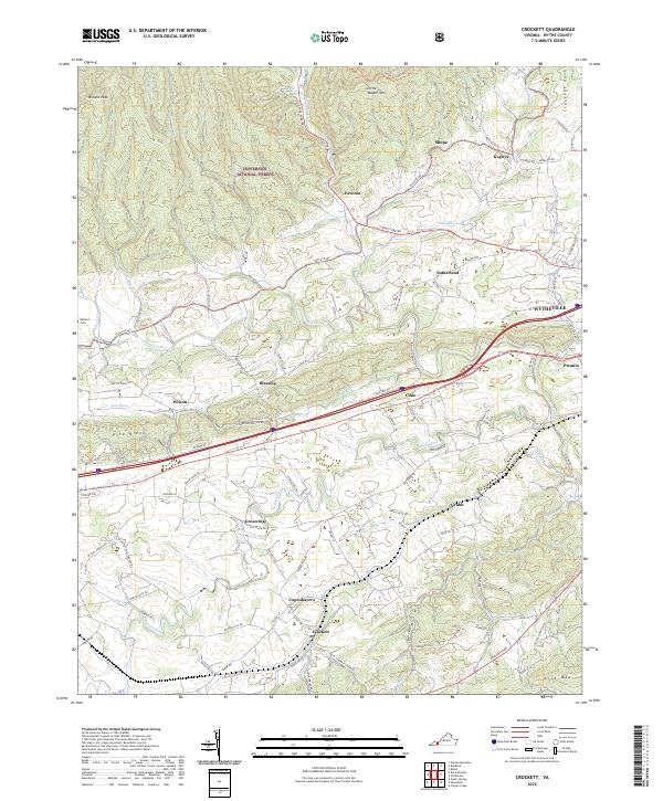
2022 Crockett
Wythe County, VA
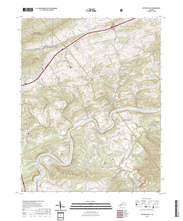
2022 Fosters Falls
Wythe County, VA
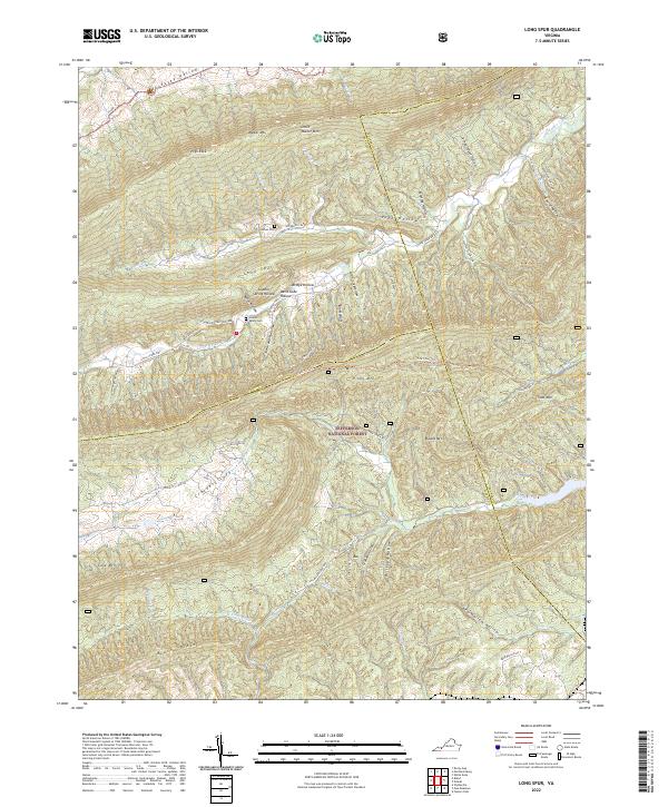
2022 Long Spur
Wythe County, VA
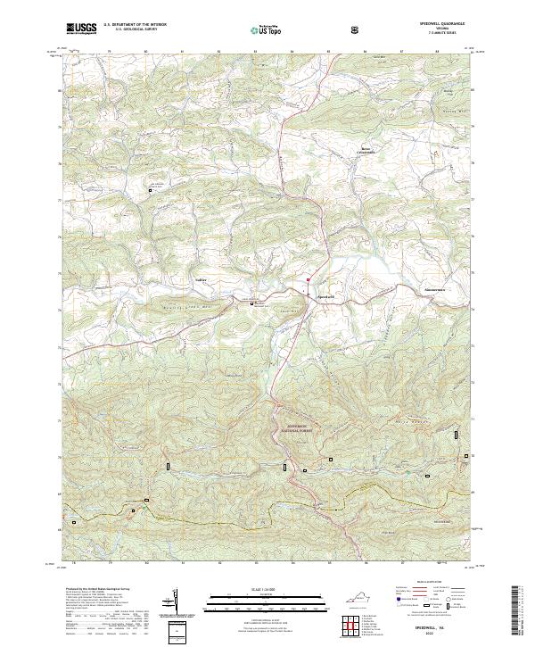
2022 Speedwell
Wythe County, VA