
1892 Map of Wytheville
USGS Topo · Published 1897About this map
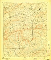
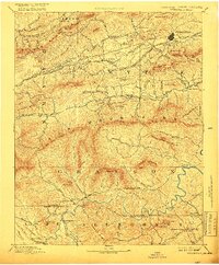
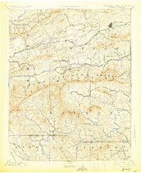
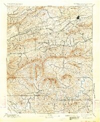
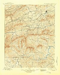
The Norfolk and Western Railroad corridor anchors the northern portion of this 1890s survey, connecting settlements like Rural Retreat and Crocketts to the county seat at Wytheville. This era reveals a landscape transitioning through early industrial development, evidenced by the clustered iron works including White Rock Furnace, Speedwell Furnace, and Eagle Furnace. South of the Iron Mountains, the topography descends into the drainage basins of the New River, where small river-oriented post offices like Hampton P.O. and Weaversford P.O. served isolated communities near the Virginia North Carolina Boundary Line. Local industry is further marked by several milling operations, such as Tilson Mill and Collins Mill, which were vital to the agricultural economy of the late nineteenth century. The map provides a clear record of the relationship between high mountain ridges like Walker Mountain and the settled valleys of Grayson and Wythe counties.
Find a feature on this map
120 named features on this map. Tap any name to fly to it.
Don’t see what you’re looking for? This feature index may not catch every label — zoom into the map to look around manually.
Map Details
Editions of this 1892 Wytheville Map
6 editions found
Other maps of this area

1887 · Pocahontas
USGS Topo · 1:125,000

1889 · Hillsville
USGS Topo · 1:125,000

1889 · Wytheville
USGS Topo · 1:125,000

1889 · Wilkesboro
USGS Topo · 1:125,000

1890 · Dublin
USGS Topo · 1:125,000

1891 · Tazewell
USGS Topo · 1:125,000

1891 · Pocahontas
USGS Topo · 1:125,000

1891 · Dublin
USGS Topo · 1:125,000

1891 · Abingdon
USGS Topo · 1:125,000

1891 · Wilkesboro
USGS Topo · 1:125,000