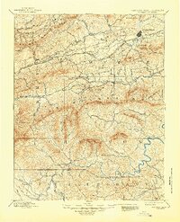
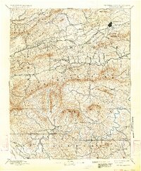
1892 Map of Wytheville
USGS Topo · Published 1945About this map
Wytheville stands as the central hub of this late 19th-century landscape, positioned along the Norfolk and Western Railroad which connects smaller depots like Crocketts and Rural Retreat. The region’s industrial character is defined by several early iron works, including Speedwell Furnace, White Rock Furnace, and Eagle Furnace, situated along the winding course of Cripple Creek.
Find a feature on this map
106 named features on this map. Tap any name to fly to it.
Don’t see what you’re looking for? This feature index may not catch every label — zoom into the map to look around manually.
Map Details
Editions of this 1892 Wytheville Map
6 editions found

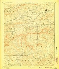
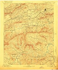
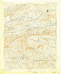
Other maps of this area

1887 · Pocahontas
USGS Topo · 1:125,000

1889 · Hillsville
USGS Topo · 1:125,000

1889 · Wytheville
USGS Topo · 1:125,000

1889 · Wilkesboro
USGS Topo · 1:125,000

1890 · Dublin
USGS Topo · 1:125,000

1891 · Tazewell
USGS Topo · 1:125,000

1891 · Pocahontas
USGS Topo · 1:125,000

1891 · Dublin
USGS Topo · 1:125,000

1891 · Abingdon
USGS Topo · 1:125,000

1891 · Wilkesboro
USGS Topo · 1:125,000