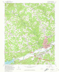
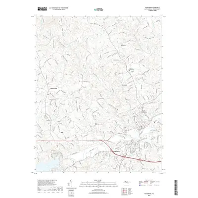
1891 Map of Wilkesboro
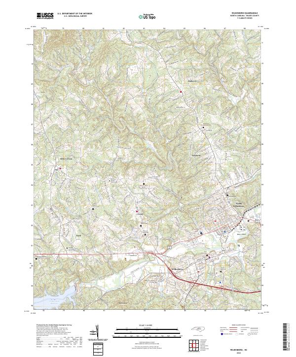
USGS Topo · Published 1940About this map
Wilkesboro serves as the focal point of this late 19th-century reconnaissance of the upper Yadkin River valley. The map reveals a mountain economy rooted in dispersed settlements and essential river crossings, most notably the Toll Bridge connecting the county seat to the northern reaches of the Reddies River. Further west, the landscape rises into the Blue Ridge and Ashe County, where the historic copper mining site at Ore Knob and the town of Jefferson are positioned along the North Fork New River.
Find a feature on this map
113 named features on this map. Tap any name to fly to it.
Don’t see what you’re looking for? This feature index may not catch every label — zoom into the map to look around manually.
Map Details
Editions of this 1891 Wilkesboro Map
This is the sole edition of this map. No revisions or reprints were ever made.
Historical Maps of North Wilkesboro Through Time
8 maps found