
1930 Map of Max Meadows
USGS Topo · Published 1930About this map
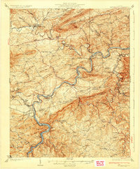
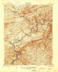
New River dominates this landscape, winding through the heart of Wythe and Carroll counties during the late 1920s. The region exhibits a sophisticated industrial and transport network centered on the river's path, featuring the Norfolk and Western railroad and significant river crossings like Carter Ferry. Mining and early industrial history are evident in settlements such as Austinville, Ivanhoe, and the Boom Furnace near Barren Springs.
Find a feature on this map
105 named features on this map. Tap any name to fly to it.
Don’t see what you’re looking for? This feature index may not catch every label — zoom into the map to look around manually.
Map Details
Editions of this 1930 Max Meadows Map
3 editions found
Other maps of this area

1887 · Pocahontas
USGS Topo · 1:125,000

1889 · Hillsville
USGS Topo · 1:125,000

1889 · Wytheville
USGS Topo · 1:125,000

1890 · Dublin
USGS Topo · 1:125,000

1891 · Pocahontas
USGS Topo · 1:125,000

1891 · Dublin
USGS Topo · 1:125,000

1892 · Hillsville
USGS Topo · 1:125,000

1892 · Wytheville
USGS Topo · 1:125,000

1894 · Pocahontas
USGS Topo · 1:125,000

1895 · Pocahontas
USGS Topo · 1:125,000