2021 Map of Avon
USGS Topo · Published 2021About this map
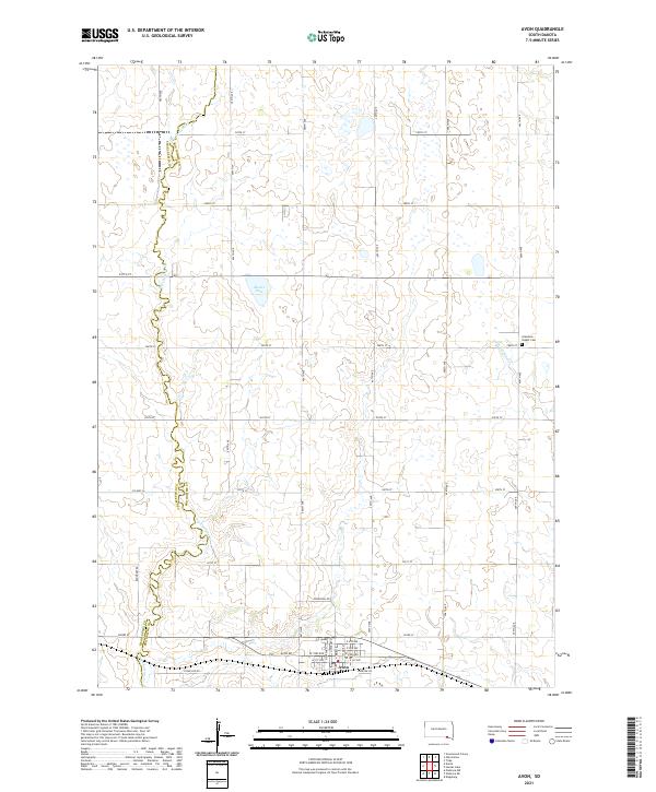
Avon serves as the primary hub in this portion of Bon Homme County, where the regular grid of township roads meets the winding path of Dry Choteau Cr. The landscape is defined by the intersection of surveyed section lines and natural watercourses, including the seasonal drainage of Little Emanuel Cr and the waters of Meiers Lake. To the northeast, the Gramkow - Vesper Cem provides a focal point for genealogical research, marking the early settlement history of the region. The map highlights the transition between the organized street plan of the town—including routes like N Main St and E 1st Ave—and the surrounding agricultural reaches. Local thoroughfares such as Stone Hse Rd and Jefferson Rd navigate the gently rolling terrain, illustrating how rural infrastructure adapts to the local topography and creek beds.
Find a feature on this map
39 named features on this map. Tap any name to fly to it.
Don’t see what you’re looking for? This feature index may not catch every label — zoom into the map to look around manually.
Map Details
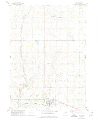
Editions of this 2021 Avon Map
This is the sole edition of this map. No revisions or reprints were ever made.
Historical Maps of Monroe Township Through Time
Featured Locations
- Lone Tree Township, SD
- Choteau Creek Township, SD
- Avon Township, SD
- Monroe Township, SD
- Avon, Avon Township