
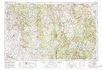
1958 Map of Aztec
USGS Topo · Published 1958About this map
Tierra Amarilla sits at the heart of this mid-century landscape, positioned near the confluence of the Rio Brazos and Rio Chama. The high-country terrain of Northern New Mexico is defined by the massive boundaries of the Carson National Forest and the Santa Fe National Forest, while the Jicarilla Apache Indian Reservation occupies a significant portion of the central plateau. To the northwest, the Denver and Rio Grande Western railroad tracks wind through mountain settlements like Lumberton and Monero, reflecting the era's reliance on rail transport for timber and mining industries.
Find a feature on this map
142 named features on this map. Tap any name to fly to it.
Don’t see what you’re looking for? This feature index may not catch every label — zoom into the map to look around manually.
Map Details
Editions of this 1958 Aztec Map
This is the sole edition of this map. No revisions or reprints were ever made.
Historical Maps of Espanola Through Time
11 maps found
1954 Aztec
San Juan County, NM
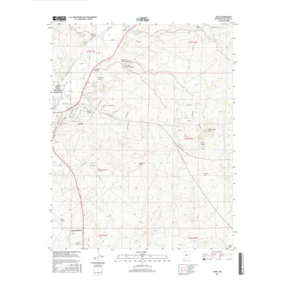
1958 Aztec
San Juan County, NM
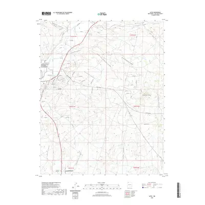
1959 Aztec
San Juan County, NM

1962 Aztec
San Juan County, NM

1965 Aztec
San Juan County, NM
1985 Aztec
San Juan County, NM
2010 Aztec
San Juan County, NM

2013 Aztec
San Juan County, NM
2017 Aztec
San Juan County, NM
2020 Aztec
San Juan County, NM
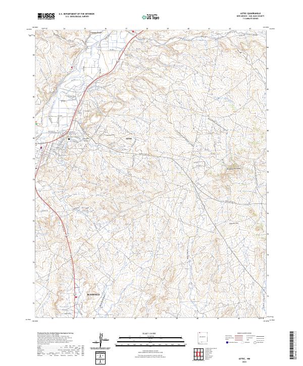
2023 Aztec
San Juan County, NM